Panatanian Island
.JPG) Satellite image | |
 Panatanian Island | |
| Geography | |
|---|---|
| Location | Oceania |
| Coordinates | 11°10′S 152°51′E / 11.167°S 152.850°ECoordinates: 11°10′S 152°51′E / 11.167°S 152.850°E[1] |
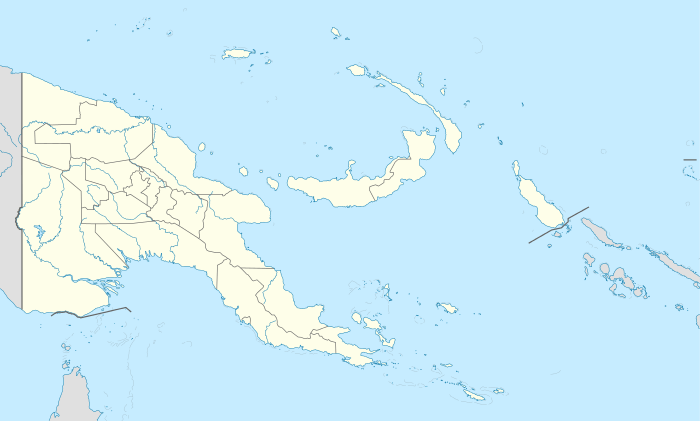
| Archipelago | Louisiade Archipelago |
| Adjacent bodies of water | Solomon Sea |
| Total islands | 1 |
| Major islands |
|
| Area | 0.79 km2 (0.31 sq mi) |
| Highest elevation | 125 m (410 ft) |
| Highest point | Mount Panatanian |
| Administration | |
| Province |
|
| District | Samarai-Murua District |
| LLG [2] | Louisiade Rural LLG |
| Island Group | Calvados Chain |
| Demographics | |
| Demonym | Papuan people |
| Population | 0 (2014) |
| Pop. density | 0 /km2 (0 /sq mi) |
| Ethnic groups | Papauans, Austronesians, Melanesians. |
| Additional information | |
| Time zone | |
| Official website |
www |
| ISO Code = PG-MBA | |
Panatanian Island is an island in Papua New Guinea, part of the Calvados Chain within the Louisiade Archipelago. It is located between Panangaribu and Panakrusima islands. It shall not be confused with Pana Tinani which is a different island in the east.
References
This article is issued from Wikipedia - version of the 11/17/2016. The text is available under the Creative Commons Attribution/Share Alike but additional terms may apply for the media files.