Ninth Street Hill Neighborhood Historic District
|
Ninth Street Hill Neighborhood Historic District | |
|
Ninth Street Hill, November 2009 | |
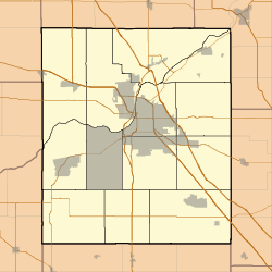   | |
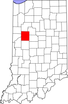
| Location | Roughly, 9th St. from South to Kossuth Sts. and State St. from 9th to Kossuth Sts., Lafayette, Indiana |
|---|---|
| Coordinates | 40°24′48″N 86°53′09″W / 40.41333°N 86.88583°WCoordinates: 40°24′48″N 86°53′09″W / 40.41333°N 86.88583°W |
| Area | 30 acres (12 ha) |
| Architect | Thise, Lawrence & James R.; Halstead,George |
| Architectural style | Gothic Revival, Italianate, Queen Anne |
| NRHP Reference # | 97000303[1] |
| Added to NRHP | April 14, 1997 |

Ninth Street Hill Neighborhood Historic District is a national historic district located at Lafayette, Tippecanoe County, Indiana. The district encompasses 88 contributing buildings and 6 contributing structures in a predominantly residential section of Lafayette. It developed between about 1850 and 1946 and includes representative examples of Gothic Revival, Italianate, Queen Anne, Greek Revival, and Second Empire style architecture. Located in the district is the separately listed Judge Cyrus Ball House. Other notable contributing resources include the Samuel Moore House (1891), Moore-Porter-Boswell House (1895), Stanley Coulter House (1890), Edward Bohrer House (1909), Thomas Wood House (c. 1850), Job M. Nash House (1859), and Gordon Graham House (c. 1900).[2]
It was listed on the National Register of Historic Places in 1997.[1]
See also
- Centennial Neighborhood District
- Downtown Lafayette Historic District
- Ellsworth Historic District
- Highland Park Neighborhood Historic District
- Jefferson Historic District
- Park Mary Historic District
- Perrin Historic District
- St. Mary Historic District
- Upper Main Street Historic District
References
- 1 2 National Park Service (2010-07-09). "National Register Information System". National Register of Historic Places. National Park Service.
- ↑ "Indiana State Historic Architectural and Archaeological Research Database (SHAARD)" (Searchable database). Department of Natural Resources, Division of Historic Preservation and Archaeology. Retrieved 2016-07-01. Note: This includes Jane Boswell and Sandy Lahr (May 1996). "National Register of Historic Places Inventory Nomination Form: Ninth Street Hill Neighborhood Historic District" (PDF). Retrieved 2016-07-01., Site map, Quad map, and Accompanying photographs