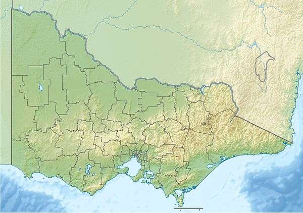
Mount Eccles
| Mount Eccles | |
|---|---|
| Highest point | |
| Elevation | 178 m (584 ft) |
| Coordinates | 38°04′S 141°55′E / 38.067°S 141.917°ECoordinates: 38°04′S 141°55′E / 38.067°S 141.917°E |
| Geography | |
| Location | Victoria, Australia |
| Climbing | |
| Easiest route | Lava Canal track |
Mount Eccles is an inactive volcano in southwestern Victoria, Australia near Macarthur. The Gunditjmara name for the mountain is Budj Bim meaning High Head. The roughly conical shaped peak rises 178 metres (584 ft).[1] The peak is a scoria hill that was thrown up beside a group of three overlapping volcanic craters that now contain Lake Surprise. A line of smaller craters and scoria cones runs to the southeast. Lava flows extend to form a shield volcano and are fed by several lava channels, or "lava canals" as they are known locally.
Initial estimates of the age of the eruption were all "minimum ages" from swamps that formed some time after the eruption and ranged from 6000 to 27,000 years,[2] but the latest evidence suggests that the eruption was at least 30,000 years ago (using dated sediments in the floor of the Lake Surprise crater[2]) and could have been as old as 40,000 for the Tyrendarra lava flow.[2]
Mount Eccles is the source of the Tyrendarra lava flow that extends 50 kilometres (31 mi) to the southwest.[3] The eruptions altered the drainage in the area producing wetlands of the Budj Bim National Heritage Landscape.[4]
The mountain was named Mount Eeles in 1836 by Major Thomas Mitchell after William Eeles of the 95th Regiment of Foot who fought with Mitchell in the Peninsular War. A draftsman's error meant that the name was rendered Eccles from 1845.[5]
Mount Eccles National Park at Lake Surprise encompasses 61.2 square kilometres (24 sq mi) and includes many interesting geologic features such as lava flows, lava caves, scoria cones and crater lakes. The park has a campground and the base of the vents supports Lake Surprise, which is generally closed for swimming due to blue-green algae issues. The dreaming of local Koori nations incorporates tales of volcanic eruptions from the past. Mount Napier is located 25 kilometres (16 mi) northeast of Mount Eccles.
See also
References
- ↑ Eussen, Dick (March 2011), "Northern Extravaganza", On the Road, p. 64
- 1 2 3 Grimes, Ken (2013). "The Ages of Our Volcanoes" (PDF). Retrieved 2014-08-05.
- ↑ Parks Victoria (November 2012), Budj Bim - Mt Eccles National Park Visitor Guide (PDF), retrieved 2013-03-03
- ↑ Australian Heritage Database, Budj Bim National Heritage Landscape, retrieved 2010-05-31
- ↑ Learmonth, Noel F. (1970). Four Towns and a Survey. Hawthorn Press: Melbourne
