Mojinete Canton
| Mojinete | |
|---|---|
| Canton | |
 | |
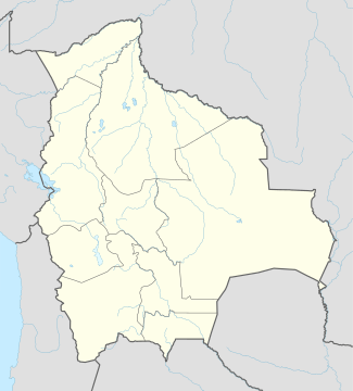 Mojinete Location of Mojinete within Bolivia | |
| Coordinates: BO 21°46′S 66°14′W / 21.767°S 66.233°W | |
| Country |
|
| Department | Potosí Department |
| Province | Sur Lípez Province |
| Municipality | Mojinete Municipality |
| Seat | Mojinete |
| Population (2001) | |
| • Total | 376 |
| Time zone | BST (UTC-4) |
Mojinete is one of the cantons of the Mojinete Municipality, the second municipal section of the Sur Lípez Province in the Potosí Department of Bolivia. During the census of 2001 it had 376 inhabitants.[1] Its seat is Mojinete with a population of 271 in 2001.[1]
References
- 1 2 Instituto Nacional de Estadística, Bolivia (Spanish)
External links
Coordinates: 21°45′54″S 66°14′20″W / 21.765°S 66.2389°W
Capital: Potosí | ||
| Provinces |  | |
| Municipalities (and seats) |
| |
This article is issued from Wikipedia - version of the 3/30/2014. The text is available under the Creative Commons Attribution/Share Alike but additional terms may apply for the media files.