Milton, Staffordshire
| Milton | |
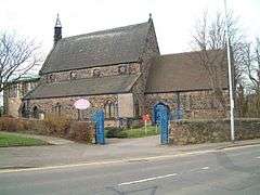 Church of St Philip and St James, Milton |
|
 Milton |
|
| Population | 17,250 (2011 Census.ward. Baddeley,Milton and Norton)[1] |
|---|---|
| OS grid reference | SJ910505 |
| – London | 162.4 mi (262 km) SSE |
| Metropolitan borough | Stoke on Trent |
| Metropolitan county | Staffordshire |
| Region | West Midlands |
| Country | England |
| Sovereign state | United Kingdom |
| Post town | Stoke on Trent |
| Postcode district | ST2 |
| Dialling code | 01782 |
| Police | Staffordshire |
| Fire | Staffordshire |
| Ambulance | West Midlands |
| EU Parliament | West Midlands |
| UK Parliament | Stoke North |
|
|
Coordinates: 53°03′00″N 2°08′31″W / 53.050°N 2.142°W
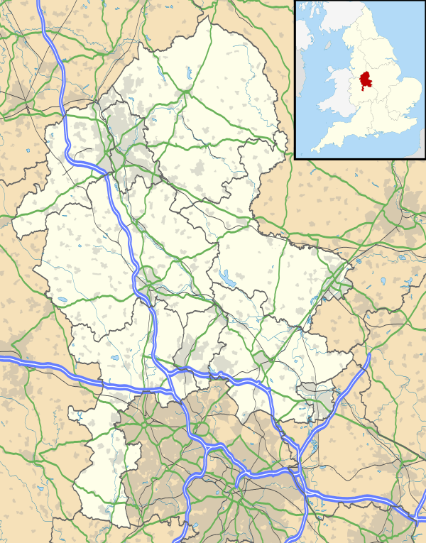
Milton is located in Stoke on Trent, Staffordshire, England. It is mainly situated between the A5009 and A53 roads. It shares its borders with Light Oaks, Baddeley Green, Sneyd Green, and Abbey Hulton. Milton once had a station on the North Staffordshire Railway. Part of the platform still remains, as do the original tracks, running adjacent to the Caldon Canal.
Milton is part of the Abbey Green ward.
References
- ↑ "Stoke Ward population 2011". Retrieved 20 December 2015.
External links
This article is issued from Wikipedia - version of the 9/16/2016. The text is available under the Creative Commons Attribution/Share Alike but additional terms may apply for the media files.