Blythe Bridge
| Blythe Bridge | |
 Blythe Bridge |
|
| Population | 5,931 (2011)[1] |
|---|---|
| OS grid reference | SJ953414 |
| Civil parish | Blythe Bridge and Forsbrook |
| District | Staffordshire Moorlands |
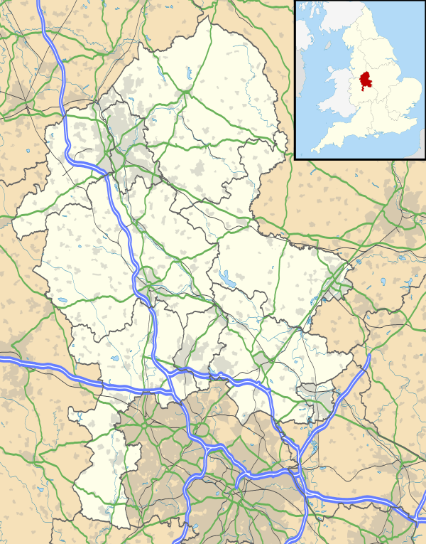
| Shire county | Staffordshire |
| Region | West Midlands |
| Country | England |
| Sovereign state | United Kingdom |
| Post town | Stoke-on-Trent |
| Postcode district | ST11 |
| Dialling code | 01782 |
| Police | Staffordshire |
| Fire | Staffordshire |
| Ambulance | West Midlands |
| EU Parliament | West Midlands |
| UK Parliament | Stone |
|
|
Coordinates: 52°58′13″N 2°04′15″W / 52.9704°N 2.0709°W
Blythe Bridge is a village situated in the Staffordshire Moorlands District, although it is effectively a south-eastern suburb of the city of Stoke-on-Trent.
Etymology
Blythe Bridge is so called as it is built around the site of a bridge over the River Blithe (spelt differently from the name of the village itself), a small river which passes directly through the village.
Today
Facilities
It has a high school and sixth form, library, as well as a public house, The Black Cock situated on Uttoxeter Road. The Smithfield and The White Cock were demolished due to the construction of two housing estates, one at each location. The village also has a wide range of services available including: a bakery, post office, mortgage shop, betting shop, newsagents, motor garage, dentist, GP surgery, shoeshop, a few hairdressers and some fast-food outlets. The library is joined to Blythe Bridge High School and Blythe Bridge Youth Centre. As of January 2014, the Duke of Wellington Pub now serves as a Tesco Express after its closure as a pub in early 2013.
Media
Blythe Bridge is covered by The Blythe and Forsbrook Times, a weekly newspaper. It is produced by Times, Echo and Life Publications (established 1896), which publish the only independent family owned and run newspapers in North Staffordshire.
Schools
- Blythe Bridge High School[2]
- Springcroft Primary School
- Forsbrook Primary School
- William Amory Primary School
Transport
Rail
Train services are available at Blythe Bridge railway station, which was opened by the North Staffordshire Railway on 7 August 1848, on the Crewe to Derby railway line. The station buildings and signal box have been demolished.
A Heritage railway, Foxfield Light Railway operate north of the village, with the southern terminus, Caverswall Road, being 0.5 miles (0.80 km) north of the main line station along Blythe Bridge Road.
Road
The Uttoxeter Road, a former major motorway link route (M1 to M6) was partially relieved by the A50 dual-carriageway. The bypass road opened in 1975, and then the section to Uttoxeter in 1985.
Air
The nearby Meir Aerodrome closed in 1973 and the land was used to build the large Meir Park housing estate.
References
- ↑ "Civil Parish population 2011". Retrieved 5 December 2015.
- ↑ http://www.blythebridge.staffs.sch.uk/ Blythe Bridge High School
Nearest Places
Famous People from Blythe Bridge
- Simon Barfoot. Prominent Trade Unionist for the Train Drivers Union ASLEF.
- Sutherland Brothers wrote Rod Stewarts hit Sailing purported to have lived there.
External links
| Wikimedia Commons has media related to Blythe Bridge. |