Mayang Miao Autonomous County
| Mayang Miao Autonomous County 麻阳苗族自治县 | |
|---|---|
| County | |
 | |
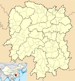 Mayang Location in Hunan | |
| Coordinates: 27°51′50″N 109°48′04″E / 27.864°N 109.801°ECoordinates: 27°51′50″N 109°48′04″E / 27.864°N 109.801°E[1] | |
| Country | People's Republic of China |
| Province | Hunan |
| Prefecture-level city | Huaihua |
| Area[2] | |
| • Total | 1,560.93 km2 (602.68 sq mi) |
| Population (2010)[3] | |
| • Total | 343,309 |
| • Density | 220/km2 (570/sq mi) |
| Time zone | China Standard (UTC+8) |
| Postal code | 4194XX |
Mayang Miao Autonomous County (simplified Chinese: 麻阳苗族自治县; traditional Chinese: 麻陽苗族自治縣; pinyin: Máyáng Miáozú Zìzhìxiàn) is under the administration of Huaihua, Hunan province, China. It borders the prefecture-level divisions of Xiangxi to the north and Tongren (Guizhou) to the west.
References
- www.xzqh.org (Chinese)
- ↑ Google (2014-07-02). "Mayang" (Map). Google Maps. Google. Retrieved 2014-07-02.
- ↑ Huaihua City Land Use Plan (2006–20)/《怀化市土地利用总体规划(2006-2020年)》.(Chinese) Accessed 8 July 2014.
- ↑ "怀化市2010年第六次全国人口普查主要数据公报" (in Chinese). Huaihua Statistical Bureau/怀化市统计局. Retrieved 9 July 2014.
External links
This article is issued from Wikipedia - version of the 10/28/2016. The text is available under the Creative Commons Attribution/Share Alike but additional terms may apply for the media files.