Mariveles Reef
| Disputed island Other names: Nanhai Jiao 南海礁; Terumbu Mantanani; Mariveles; Đá Kỳ Vân | |
|---|---|
 | |
| Satellite image of Mariveles Reef by NASA. | |
| Geography | |
 Mariveles Reef (South China Sea) | |
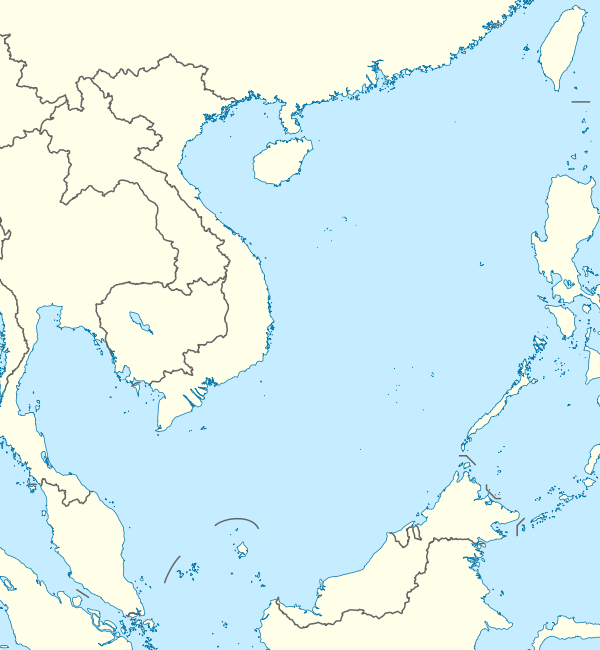
| Location | South China Sea |
| Coordinates | 7°59′38″N 113°53′42″E / 7.99389°N 113.89500°ECoordinates: 7°59′38″N 113°53′42″E / 7.99389°N 113.89500°E |
| Archipelago | Spratly Islands |
| Administered by | |
| Malaysia | |
| State | Sabah/Sarawak |
| Claimed by | |
| People's Republic of China | |
| City | Sansha, Hainan |
| Philippines | |
| Municipality | Kalayaan, Palawan |
| Republic of China (Taiwan) | |
| Municipality | Cijin District, Kaohsiung |
| Vietnam | |
| District | Trường Sa District, Khánh Hòa |
Mariveles Reef, known as Nanhai Jiao (Chinese: 南海礁) in China, Terumbu Mantanani in Malaysia, đá Kỳ Vân in Vietnam and Mariveles in the Philippines, is 59 km slightly east of north from Swallow Reef and 35nm southeast of Barque Canada Reef.[1] It dries at high tide enclosing two large lagoons in a figure of eight formation with a sand cay between them. This small cay, 1.5–2 m high, and some isolated rocks are just visible at high water.
The Royal Malaysian Navy has maintained a naval station called "Mike Station" since 1986.[2]
References
- ↑ D. J. Hancox; Victor Prescott. A Geographical Description of the Spratly Islands and an Account of Hydrographic Surveys Amongst Those Islands.
- ↑ Joshua Ho; Sam Bateman (15 February 2013). Maritime Challenges and Priorities in Asia: Implications for Regional Security. Routledge. pp. 74–. ISBN 978-1-136-29820-2.
| Part of a series on the |
| Spratly Islands |
|---|
 Spratly Islands military occupations map |
| Related articles |
| Confrontations |
| Military occupations |
|
|
| Bays | |
|---|---|
| Capes | |
| Rivers |
|
| Mountains and Mountain ranges | |
| Peninsula |
|
| Waterfall | |
| Valley | |
| Caves | |
| Volcanic field | |
| Islands |
|
| Other areas | |
| Dispute | |
This article is issued from Wikipedia - version of the 11/3/2016. The text is available under the Creative Commons Attribution/Share Alike but additional terms may apply for the media files.