Mamfe Airport
| Mamfe Airport | |||||||||||
|---|---|---|---|---|---|---|---|---|---|---|---|
| IATA: MMF – ICAO: FKKF | |||||||||||
| Summary | |||||||||||
| Airport type | Public | ||||||||||
| Serves | Mamfe | ||||||||||
| Location |
| ||||||||||
| Elevation AMSL | 413 ft / 126 m | ||||||||||
| Coordinates | 05°42′16.2″N 009°18′20.8″E / 5.704500°N 9.305778°ECoordinates: 05°42′16.2″N 009°18′20.8″E / 5.704500°N 9.305778°E | ||||||||||
| Map | |||||||||||
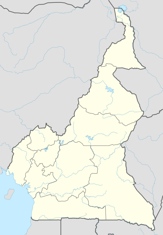 FKKF Location of Mamfe Airport in Cameroon | |||||||||||
| Runways | |||||||||||
| |||||||||||
Mamfe Airport (IATA: MMF, ICAO: FKKF) is a public use airport located 5 kilometres (3 mi) south of Mamfe, Sud-Ouest, Cameroon. The airport is actually found in Besongabang – a village about 5 km (3 mi) from Mamfe town. The Cameroon military base in Besongabang shares the airport.
See also
References
- ↑ Airport record for Mamfe Airport at Landings.com. Retrieved 2013-08-25
- ↑ Google (2013-08-25). "location of Mamfe Airport" (Map). Google Maps. Google. Retrieved 2013-08-25.
External links
- Airport record for Mamfe Airport at Landings.com
- Geographical Names at Geographic.com
This article is issued from Wikipedia - version of the 11/9/2016. The text is available under the Creative Commons Attribution/Share Alike but additional terms may apply for the media files.