Tiko Airport
| Tiko Airport | |||||||||||
|---|---|---|---|---|---|---|---|---|---|---|---|
| IATA: TKC – ICAO: FKKC | |||||||||||
| Summary | |||||||||||
| Airport type | Public | ||||||||||
| Operator | Government | ||||||||||
| Serves | Tiko, Cameroon | ||||||||||
| Elevation AMSL | 151 ft / 46 m | ||||||||||
| Coordinates | 4°05′20″N 9°21′35″E / 4.08889°N 9.35972°ECoordinates: 4°05′20″N 9°21′35″E / 4.08889°N 9.35972°E | ||||||||||
| Map | |||||||||||
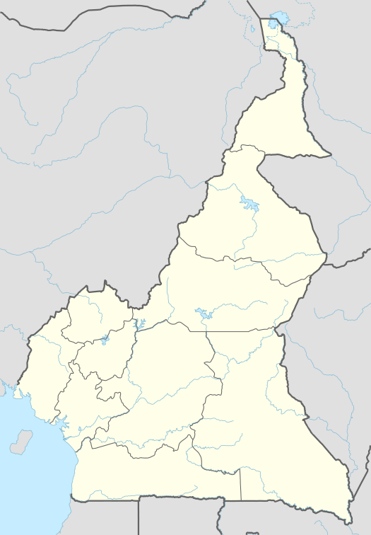 FKKC Location of Tiko Airport in Cameroon | |||||||||||
| Runways | |||||||||||
| |||||||||||
Tiko Airport (IATA: TKC, ICAO: FKKC) is an airport serving Tiko,[1] a town in the Southwest Province of Cameroon.
The Tiko non-directional beacon (Ident: TI) is located on the field.[3]
See also
References
- 1 2 Airport information for FKKC at World Aero Data. Data current as of October 2006.Source: DAFIF.
- ↑ Airport information for TKC at Great Circle Mapper.
- ↑ OurAirports - TI NDB
External links
This article is issued from Wikipedia - version of the 12/4/2016. The text is available under the Creative Commons Attribution/Share Alike but additional terms may apply for the media files.