Nkongsamba Airport
| Nkongsamba Airport | |||||||||||
|---|---|---|---|---|---|---|---|---|---|---|---|
| IATA: NKS – ICAO: FKAN | |||||||||||
| Summary | |||||||||||
| Airport type | Public | ||||||||||
| Serves | Nkongsamba, Cameroon | ||||||||||
| Elevation AMSL | 2,641 ft / 805 m | ||||||||||
| Coordinates | 04°57′00″N 009°56′00″E / 4.95000°N 9.93333°ECoordinates: 04°57′00″N 009°56′00″E / 4.95000°N 9.93333°E | ||||||||||
| Map | |||||||||||
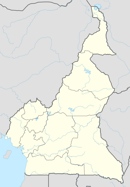 FKAN Location of N'Kongsamba Airport in Cameroon | |||||||||||
| Runways | |||||||||||
| |||||||||||
|
Source: Great Circle Mapper[1] | |||||||||||
Nkongsamba Airport (IATA: NKS, ICAO: FKAN) is an airport serving Nkongsamba, a city in the Moungo department of the Littoral region in Cameroon.[1]
Facilities
The airport resides at an elevation of 2,641 feet (805 m) above mean sea level. It has a runway that is 730 metres (2,395 ft) in length.[1]
References
- 1 2 3 Airport information for Nkongsamba, Cameroon (FKAN / NKS) at Great Circle Mapper.
External links
This article is issued from Wikipedia - version of the 8/25/2013. The text is available under the Creative Commons Attribution/Share Alike but additional terms may apply for the media files.