Mamfe
| Mamfe | |
|---|---|
.jpg) | |
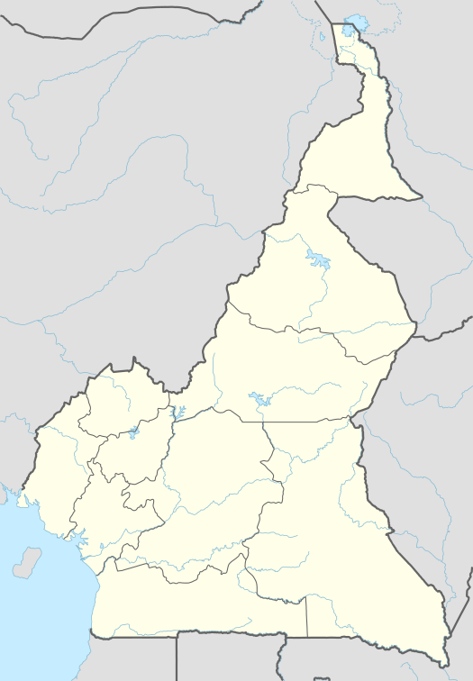 Mamfe Location in Cameroon | |
| Coordinates: 5°46′N 9°17′E / 5.767°N 9.283°E | |
| Country |
|
| Province | Southwest |
| Divisions | Manyu |
Mamfe (also spelled Mamfé) is a city and capital of the Manyu A Division of the Southwest Region in Cameroon. It is located 60 km (37 mi) from the border of Nigeria, on the Manyu River. It has a population of 20,300 (2001 estimate). Mamfe had in the past 400 years been the center of trade between Cameroon and Countries west of the republic of Cameroon such as Nigeria, Ghana. When the first Explorers came to Cameroon through the Atlantic Ocean they sailed into the hinterlands through the Cross river to "John Holt" port. This river port served as the main trading post for trading goods from land-locked highlands of the English-speaking Cameroon to other English speaking African countries. It also harbored English-speaking Cameroon's first Airport. The trade activities propelled Mamfe as the center for pre-independence political conferences as Cameroon prepared for its independence from the British. The British Cameroon held most of its important pre-independence conferences in Mamfe. It is known as a centre for Ekpe or Ngbe tradition that has its origin traced as far back to one of the 12 Judaic tribes that sailed from Egypt to the bight of Biafra. This tradition dates over 11 centuries before Jesus Christ and had spread over lands as far as parts of Nigeria including Efik, Oyo, Ejagham, Arochuku Ibo lands, Mali, Cuba, Grenada and Brazil. Mamfe is the land of traditional medicine and blessed with sweetest fruits as pineapples, oranges, coconuts, palm oil, African plums and best plaintains and colanuts.
The name "Mamfe" comes from the Kenyang. language. When Dr. Manfield, a British Anthropologist as he explored west Africa in quest for origins of Ivory and spices, made friends with the local chiefs of Besong Abang who one day took him to visit their cousins in Okoyong chiefdom. On their way the explorer was interested in marking the boundary between Besong Abang and Okoyong when they strayed into this bubbling junction river town and asked his friend the name of this place. The chief replied "Mamfie Fah", in Kenyang language which meant "put the mark here". For the Chief, this was the boundary marker Dr. Manfield had asked for. So Dr. Mansfield wrote "Mamfe" as the name of this bubbling town.
That is how Mamfe got its name. Mamfe was a "stranger-town", a town which was not owned by any of the neighboring villages. The Bayangi man didn't understand and only said in his dialect, "Mamfie fah(where should i put it)".
The inhabitants speak a Kenyang language as their mother tongue, although English is the official language spoken along with Pidgin, and several other dialects, including Ejagham. The city is also noteworthy for the high proportion of Nigerians who live there.
Mamfe is still too small to possess a university, but the Queen of the Rosary Catholic College was Cameroon's first all-female boarding school. There is also at Teacher's training college, and several vocational schools. Popular local foods in Mamfe include eru and fu-fu, plantains with ndole, and garri and agusi soup.
Peace Corps has maintained a presence in the Mamfe area since they entered the country in 1962.
Climate
As Mamfe is in a river valley, humidity can be over 90% and temperatures can exceed 120 F (49°C) during the Dry Season (February - April). During the rest of the year, temperatures remain in the 80-90s (27 to 37°C) and only fall during the Rainy Season, sometimes to 70F (21°C).
The climate can be very uncomfortable for travellers, but tourism is beginning in the area, though small. Points of interest are the old German bridge, the Mamfe Cross, the Mamfe River by boat, and the Mamfe Cathedral. Hotels are few, but can and do accommodate western travelers.
| Climate data for Mamfe | |||||||||||||
|---|---|---|---|---|---|---|---|---|---|---|---|---|---|
| Month | Jan | Feb | Mar | Apr | May | Jun | Jul | Aug | Sep | Oct | Nov | Dec | Year |
| Average high °C (°F) | 31.4 (88.5) |
33.5 (92.3) |
33.3 (91.9) |
32.9 (91.2) |
32.1 (89.8) |
30.8 (87.4) |
29.0 (84.2) |
28.7 (83.7) |
30.1 (86.2) |
30.9 (87.6) |
31.4 (88.5) |
31.1 (88) |
31.3 (88.3) |
| Daily mean °C (°F) | 25.6 (78.1) |
27.2 (81) |
27.9 (82.2) |
27.8 (82) |
27.3 (81.1) |
26.5 (79.7) |
25.6 (78.1) |
25.4 (77.7) |
25.9 (78.6) |
26.5 (79.7) |
26.4 (79.5) |
25.8 (78.4) |
26.5 (79.7) |
| Average low °C (°F) | 19.9 (67.8) |
21.0 (69.8) |
22.2 (72) |
22.5 (72.5) |
22.5 (72.5) |
22.2 (72) |
22.0 (71.6) |
21.9 (71.4) |
21.8 (71.2) |
21.9 (71.4) |
21.6 (70.9) |
20.3 (68.5) |
21.6 (70.9) |
| Average precipitation mm (inches) | 17.8 (0.701) |
57.0 (2.244) |
157.1 (6.185) |
224.3 (8.831) |
272.0 (10.709) |
372.8 (14.677) |
479.2 (18.866) |
465.1 (18.311) |
488.9 (19.248) |
415.8 (16.37) |
93.4 (3.677) |
28.6 (1.126) |
3,072 (120.945) |
| Average precipitation days (≥ 1.0 mm) | 2 | 4 | 11 | 17 | 20 | 24 | 25 | 27 | 26 | 24 | 8 | 2 | 190 |
| Mean monthly sunshine hours | 181.9 | 173.6 | 167.5 | 166.7 | 167.7 | 131.0 | 87.2 | 72.8 | 101.3 | 135.3 | 171.9 | 187.9 | 1,744.8 |
| Source: NOAA[1] | |||||||||||||
References
- ↑ "Mamfe Climate Normals 1961–1990". National Oceanic and Atmospheric Administration. Retrieved October 19, 2015.
Coordinates: 5°46′N 9°17′E / 5.767°N 9.283°E