Lethent, California
| Lethent | |
|---|---|
| Former settlement | |
 Lethent Location in California | |
| Coordinates: 36°17′12″N 119°52′58″W / 36.28667°N 119.88278°WCoordinates: 36°17′12″N 119°52′58″W / 36.28667°N 119.88278°W | |
| Country | United States |
| State | California |
| County | Kings County |
| Elevation[1] | 217 ft (66 m) |
Lethent is a former settlement in Kings County, California.[1] It was located on the Southern Pacific Railroad 6 miles (9.7 km) west of Lemoore,[2] at an elevation of 217 feet (66 m).[1] Lethent still appeared on maps as of 1926.[1]
References
Municipalities and communities of Kings County, California, United States | ||
|---|---|---|
| Cities | 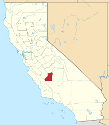 | |
| CDPs | ||
| Unincorporated communities | ||
| Ghost towns | ||
This article is issued from Wikipedia - version of the 9/5/2012. The text is available under the Creative Commons Attribution/Share Alike but additional terms may apply for the media files.