Kéniéba Airport
| Kéniéba Airport | |||||||||||
|---|---|---|---|---|---|---|---|---|---|---|---|
| IATA: KNZ – ICAO: GAKA | |||||||||||
| Summary | |||||||||||
| Airport type | Public | ||||||||||
| Serves | Kéniéba, Mali | ||||||||||
| Elevation AMSL | 449 ft / 137 m | ||||||||||
| Coordinates | 12°50′21″N 11°15′10″W / 12.83917°N 11.25278°W | ||||||||||
| Map | |||||||||||
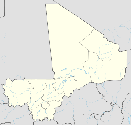 K Location of Kéniéba Airport in Mali | |||||||||||
| Runways | |||||||||||
| |||||||||||
Kéniéba Airport (IATA: KNZ, ICAO: GAKA) is an airport serving Kéniéba,[1] a city in the Kéniéba, a city and commune of the Kéniéba Cercle in the Kayes Region of Mali.
The airport resides at an elevation of 449 feet (137 m) above mean sea level. It has one runway that is 900 metres (2,953 ft) long.[1]
References
- 1 2 3 Airport information for GAKA at Great Circle Mapper.
- ↑ Accident history for KNZ at Aviation Safety Network
This article is issued from Wikipedia - version of the 11/27/2016. The text is available under the Creative Commons Attribution/Share Alike but additional terms may apply for the media files.