Keibane Airport
"GANK" redirects here. For other uses, see Gank.
| Keibane Airport | |||||||||||
|---|---|---|---|---|---|---|---|---|---|---|---|
| IATA: NRM – ICAO: GANK | |||||||||||
| Summary | |||||||||||
| Airport type | Public | ||||||||||
| Serves | Nara | ||||||||||
| Elevation AMSL | 889 ft / 271 m | ||||||||||
| Coordinates | 15°13′40″N 7°15′40″W / 15.22778°N 7.26111°WCoordinates: 15°13′40″N 7°15′40″W / 15.22778°N 7.26111°W | ||||||||||
| Map | |||||||||||
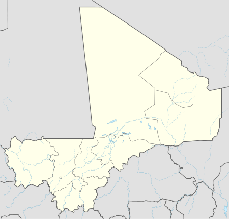 Nara Location of the airport in Mali | |||||||||||
| Runways | |||||||||||
| |||||||||||
|
Source: Google Maps[1] | |||||||||||
Keibane Airport (IATA: NRM, ICAO: GANK) is an airport serving Nara in Mali. The airport is located 2 kilometres (1 mi) south of the town.
See also
 Aviation portal
References
- OurAirports - Mali
- Great Circle Mapper - Keibane
- Keibane
- Google Earth
External links
This article is issued from Wikipedia - version of the 12/4/2016. The text is available under the Creative Commons Attribution/Share Alike but additional terms may apply for the media files.