Koutiala Airport
| Koutiala Airport | |||||||||||
|---|---|---|---|---|---|---|---|---|---|---|---|
| IATA: KTX – ICAO: GAKO | |||||||||||
| Summary | |||||||||||
| Serves | Koutiala | ||||||||||
| Location |
| ||||||||||
| Elevation AMSL | 1,240 ft / 378 m | ||||||||||
| Coordinates | 12°21′03″N 5°25′50″W / 12.35083°N 5.43056°WCoordinates: 12°21′03″N 5°25′50″W / 12.35083°N 5.43056°W | ||||||||||
| Map | |||||||||||
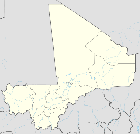 KTX Location within Mali | |||||||||||
| Runways | |||||||||||
| |||||||||||
Koutiala Airport (IATA: KTX, ICAO: GAKO) is an airstrip serving Koutiala in Mali. It is located 5 kilometres (3 mi) southeast of the town center.
Runway is poorly defined. Length is between last visible markers and is approximate.
References
- ↑ Airport information for KTX at Great Circle Mapper.
- ↑ Google Maps - Koutiala
External links
This article is issued from Wikipedia - version of the 12/4/2016. The text is available under the Creative Commons Attribution/Share Alike but additional terms may apply for the media files.