Sikasso Airport
| Sikasso Airport | |||||||||||
|---|---|---|---|---|---|---|---|---|---|---|---|
| IATA: KSS – ICAO: GASK | |||||||||||
| Summary | |||||||||||
| Airport type | Public | ||||||||||
| Serves | Sikasso | ||||||||||
| Elevation AMSL | 1,378 ft / 420 m | ||||||||||
| Coordinates | 11°19′35″N 5°41′30″W / 11.32639°N 5.69167°WCoordinates: 11°19′35″N 5°41′30″W / 11.32639°N 5.69167°W | ||||||||||
| Map | |||||||||||
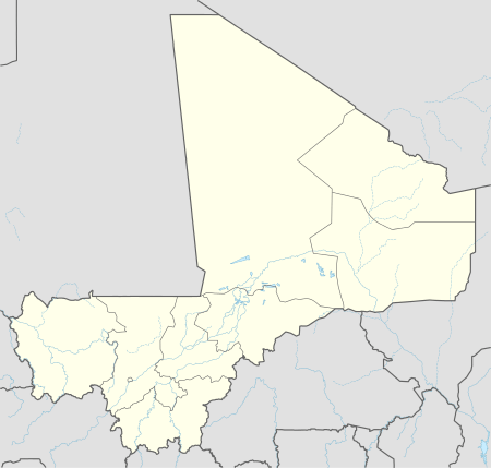 Sikasso Location of the airport in Mali | |||||||||||
| Runways | |||||||||||
| |||||||||||
|
Source: Google Maps[1] | |||||||||||
Sikasso Airport (IATA: KSS , ICAO: GASK ) is an airport serving Sikasso in Mali.
Aerial images of runway markings show an original unpaved length of approximately 2,000 metres (6,562 ft), much of which has deteriorated or found other uses. A 225 metres (738 ft) dirt overrun[2] on the west end of the gravel pavement appears usable.
See also
 Aviation portal
References
- OurAirports - Mali
- Great Circle Mapper - Sikasso
- Sikasso
- Google Earth
External links
Google maps - old unused runway in Sikasso city
This article is issued from Wikipedia - version of the 12/4/2016. The text is available under the Creative Commons Attribution/Share Alike but additional terms may apply for the media files.