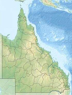
Kearneys Falls
| Kearneys Falls | |
|---|---|
 | |
| Location | Far North Queensland, Australia |
| Coordinates | 17°14′06″S 145°47′07″E / 17.23500°S 145.78528°ECoordinates: 17°14′06″S 145°47′07″E / 17.23500°S 145.78528°E[1][2] |
| Type | Cascade |
The Kearneys Falls is a cascade waterfall on a tributary of the Mulgrave River, in the Wooroonooran National Park, in the Goldsborough Valley of Far North region of Queensland, Australia.
Location and features
Access to the falls is via a 1.6 kilometres (0.99 mi) walking track.[3]
Camping facilities and the walking track to Kearneys Falls were closed in 2006 due to severe damage by both Tropical Cyclone Larry and Tropical Cyclone Monica.[4] Camping facilities are available at the camp site and the track to the falls is open.
See also
References
- ↑ "Kearneys Falls". Gazetteer of Australia online. Geoscience Australia, Australian Government.
- ↑ "Kearneys Falls (entry 17834)". Queensland Place Names. Queensland Government. Retrieved 13 September 2015.
- ↑ "Things to Do Kearneys Falls". Wet Tropics Management Authority. 2002. Retrieved 2009-05-23.
- ↑ "Goldsborough Picnic Area Re-opens". Ministerial Media Statement. Department of the Premier and Cabinet (Queensland). 16 January 2007. Retrieved 23 May 2009.
This article is issued from Wikipedia - version of the 9/4/2016. The text is available under the Creative Commons Attribution/Share Alike but additional terms may apply for the media files.