Julice Mound
 Location within Louisiana today | |
| Location |
Transylvania, Louisiana, East Carroll Parish, Louisiana, |
|---|---|
| Region | East Carroll Parish, Louisiana |
| Coordinates | 32°41′19.5″N 91°13′2.4″W / 32.688750°N 91.217333°W |
| History | |
| Founded | 1200 CE |
| Abandoned | 1541 CE |
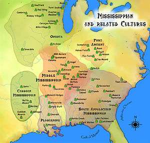
| Cultures | Plaquemine Mississippian culture |
| Site notes | |
| Responsible body: private | |
Julice Mound is an archaeological site in East Carroll Parish, Louisiana with a Plaquemine culture component dating to 1200–1541 CE and located less than one mile from Transylvania Mounds.[1]
Description
The site is located less than a mile from Transylvania Mounds and it is extremely likely that Julice is part of that complex. The site has a single platform mound and is located near a channel that feeds into the Mississippi River and right next to Louisiana Highway 581. A survey from 1954 describes it as being 8 feet (2.4 m) in height and having a small platform on its summit. The route for HWY 581 runs over the former location of a large section of the mound, of which only about one third remains and recent measurements of the mound put it at 9 feet (2.7 m) in height and 130 feet (40 m) by 65 feet (20 m) at its base. Pottery discovered at the site date its occupation to 1200–1541 CE.[1]
See also
References
- 1 2 "Indian Mounds of Northeast Louisiana : Julice Mound". Retrieved 2011-10-31.
| Archaeological cultures |
|
|---|---|
| Archaeological sites |
|
| Human remains | |
| Miscellaneous |
|
| |