Gudgenby River
| Gudgenby | |
| River | |
| Country | Australia |
|---|---|
| Territory | Australian Capital Territory |
| Regions | South Eastern Highlands (IBRA), Capital Country |
| Part of | Murrumbidgee River, Murray–Darling basin |
| Tributaries | |
| - left | Nursery Creek, Orroral River, Booroomba Creek, Naas River |
| - right | Hospital Creek (Australian Capital Territory), Dry Creek (Australian Capital Territory), Half Moon Creek |
| Landmark | Mount Tennant |
| Source | Mount Gudgenby and Yankee Hat, Brindabella Range |
| Source confluence | Bogong Creek and Middle Creek (Australian Capital Territory) |
| - location | Namadgi National Park |
| - elevation | 995 m (3,264 ft) |
| - coordinates | 35°46′17″S 148°56′31″E / 35.77139°S 148.94194°E |
| Mouth | confluence with the Murrumbidgee River |
| - location | near Tharwa |
| - elevation | 573 m (1,880 ft) |
| - coordinates | 35°31′14″S 149°4′33″E / 35.52056°S 149.07583°ECoordinates: 35°31′14″S 149°4′33″E / 35.52056°S 149.07583°E |
| Length | 35 km (22 mi) |
| [1] | |
The Gudgenby River, a perennial river that is part of the Murrumbidgee catchment within the Murray-Darling basin, is located in the Australian Capital Territory, Australia.
Location and features
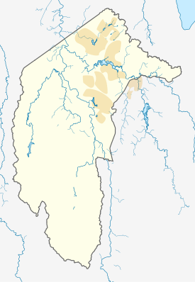
Formed by the confluence of Bogong Creek and Middle Creek, the Gudgenby River rises within Namadgi National Park, below Yankee Hat and Mount Gudgenby, on the south-eastern slopes of the Brindabella Range in the south of the Australian Capital Territory (ACT). The river flows generally north and north-east, joined by nine tributaries, including the Naas River and Orroral River, before reaching its confluence with the Murrumbidgee River, near Tharwa. The river descends 422 metres (1,385 ft) over its 35 kilometres (22 mi) course.[1]
The river catchment contains ecologically significant alpine wetlands.
In 2004, ACTEW announced that the creation of a large 159 gigalitres (5.6×10⁹ cu ft) reservoir by damming the Gudgenby River, below Mount Tennent, was one of three options being considered as part of the Future Water Options Project in order to provide improved reliability and increased supply of potable water for Canberra and the ACT. By 2005, the ACT Government decided that the creation of the Mount Tennent dam would not proceed; in favour enlarging the Cotter Dam.[2]
See also
References
- 1 2 "Map of Gudgenby Creek, ACT". Bonzle.com. Retrieved 14 February 2013.
- ↑ "Proposal for the pass-through of water supply augmentation costs" (PDF). Submission to the Independent Competition and Regulatory Commission. ACTEW Corporation. 13 January 2006. pp. 1, 8.
External links
- Southern ACT Catchment Group website
Rivers of the Murrumbidgee River catchment, New South Wales and the Australian Capital Territory, Australia | |||||
|---|---|---|---|---|---|
| |||||
| |||||
Rivers, other watercourses, reservoirs, river islands and waterfalls of the Australian Capital Territory | |
|---|---|
| Rivers and creeks |
|
| Reservoirs | |
| River islands | |
| Waterfalls |
|
| |