Goz Beïda Airport
| Goz Beïda Airport | |||||||||||
|---|---|---|---|---|---|---|---|---|---|---|---|
| IATA: none – ICAO: FTTG | |||||||||||
| Summary | |||||||||||
| Airport type | Public | ||||||||||
| Owner | Government | ||||||||||
| Serves | Goz Beïda | ||||||||||
| Location |
| ||||||||||
| Elevation AMSL | 1,827 ft / 557 m | ||||||||||
| Coordinates | 12°12′38.6″N 021°27′31.8″E / 12.210722°N 21.458833°ECoordinates: 12°12′38.6″N 021°27′31.8″E / 12.210722°N 21.458833°E | ||||||||||
| Map | |||||||||||
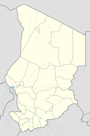 FTTG Location of Goz Beïda Airport in Chad | |||||||||||
| Runways | |||||||||||
| |||||||||||
Goz Beïda Airport (ICAO: FTTG) is a public use airport located 5 kilometres (3 mi) east-southeast of Goz Beïda, Sila, Chad.
See also
References
- ↑ Airport record for Goz Beïda Airport at Landings.com. Retrieved 2013-08-28
- ↑ Google (2013-08-28). "location of Goz Beïda Airport" (Map). Google Maps. Google. Retrieved 2013-08-28.
External links
- Airport record for Goz Beïda Airport at Landings.com
This article is issued from Wikipedia - version of the 11/8/2016. The text is available under the Creative Commons Attribution/Share Alike but additional terms may apply for the media files.