Sarh Airport
| Sarh Airport | |||||||||||
|---|---|---|---|---|---|---|---|---|---|---|---|
| IATA: SRH – ICAO: FTTA | |||||||||||
| Summary | |||||||||||
| Airport type | Public | ||||||||||
| Owner | Government | ||||||||||
| Location | Sarh, Chad | ||||||||||
| Elevation AMSL | 1,021 ft / 363 m | ||||||||||
| Coordinates | 9°08′46″N 18°22′33″E / 9.14611°N 18.37583°ECoordinates: 9°08′46″N 18°22′33″E / 9.14611°N 18.37583°E | ||||||||||
| Map | |||||||||||
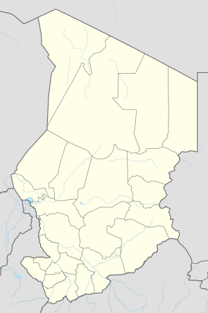 SRH Location of airport in Chad | |||||||||||
| Runways | |||||||||||
| |||||||||||
Sarh Airport (IATA: SRH, ICAO: FTTA) is an airport serving Sarh, Chad.
Airlines and destinations
| Airlines | Destinations |
|---|
This article is issued from Wikipedia - version of the 11/27/2016. The text is available under the Creative Commons Attribution/Share Alike but additional terms may apply for the media files.