Faya-Largeau Airport
| Faya-Largeau Airport | |||||||||||
|---|---|---|---|---|---|---|---|---|---|---|---|
| IATA: FYT – ICAO: FTTY | |||||||||||
| Summary | |||||||||||
| Airport type | Public / Military | ||||||||||
| Operator | Government | ||||||||||
| Serves | Faya-Largeau, Chad | ||||||||||
| Elevation AMSL | 771 ft / 235 m | ||||||||||
| Coordinates | 17°55′01″N 019°06′39″E / 17.91694°N 19.11083°ECoordinates: 17°55′01″N 019°06′39″E / 17.91694°N 19.11083°E | ||||||||||
| Map | |||||||||||
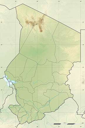 FTTY Location of airport in Chad | |||||||||||
| Runways | |||||||||||
| |||||||||||
Faya-Largeau Airport (IATA: FYT, ICAO: FTTY) is an airport serving Faya-Largeau,[1] the largest city in northern Chad. It is located in Chad's Borkou Region.
Since 2013, three French Rafale are parked in Faya-Largeau to protect the Chadian airspace.
Facilities
The airport resides at an elevation of 771 feet (235 m) above mean sea level. It has one runway designated 06/24 with an asphalt surface measuring 2,800 by 45 metres (9,186 ft × 148 ft).[1]
Airlines and destination
The following airlines offer scheduled passenger service:
| Airlines | Destinations |
|---|
Incidents
On 16 February 1976, Douglas C-47A TT-LAG of the Force Aérienne Tchadienne was damaged beyond economic repair in an accident at Faya-Largeau Airport.[3]
References
- 1 2 3 Airport information for FTTY from DAFIF (effective October 2006)
- ↑ Airport information for FYT at Great Circle Mapper. Source: DAFIF (effective October 2006).
- ↑ "TT-LAG Accident description". Aviation Safety Network. Retrieved 15 August 2010.
External links
This article is issued from Wikipedia - version of the 12/4/2016. The text is available under the Creative Commons Attribution/Share Alike but additional terms may apply for the media files.