Girolles, Loiret
| Girolles | |
|---|---|
|
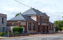
The town hall and school in Girolles | |
 Girolles | |
|
Location within Centre-Val de Loire region  Girolles | |
| Coordinates: 48°03′41″N 2°42′57″E / 48.0614°N 2.7158°ECoordinates: 48°03′41″N 2°42′57″E / 48.0614°N 2.7158°E | |
| Country | France |
| Region | Centre-Val de Loire |
| Department | Loiret |
| Arrondissement | Montargis |
| Canton | Ferrières-en-Gâtinais |
| Intercommunality | Communauté de communes des Quatre Vallées (Loiret) |
| Government | |
| • Mayor (2001–2007) | Jacquie Grisard |
| Area1 | 13.9 km2 (5.4 sq mi) |
| Population (2006)2 | 707 |
| • Density | 51/km2 (130/sq mi) |
| Time zone | CET (UTC+1) |
| • Summer (DST) | CEST (UTC+2) |
| INSEE/Postal code | 45156 / 45120 |
| Elevation | 76–104 m (249–341 ft) |
|
1 French Land Register data, which excludes lakes, ponds, glaciers > 1 km² (0.386 sq mi or 247 acres) and river estuaries. 2 Population without double counting: residents of multiple communes (e.g., students and military personnel) only counted once. | |
Girolles is a commune in the Loiret department in north-central France.
See also
| Wikimedia Commons has media related to Girolles (Loiret). |
This article is issued from Wikipedia - version of the 3/23/2015. The text is available under the Creative Commons Attribution/Share Alike but additional terms may apply for the media files.