Garthamlock
Coordinates: 55°52′19″N 4°08′41″W / 55.872047°N 4.144767°W
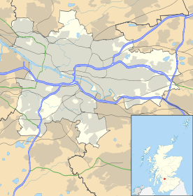
Garthamlock is a suburb in the north-east of the Scottish city of Glasgow. It is situated north of the River Clyde and south of the river Kelvin.
Garthamlock was developed from 1954 onwards after the city bought the estate of Garthamlock House.[1] The house itself was demolished in 1955 to make way for a new secondary school.
The area is now a mix of local authority housing and private stock. Easterhouse is to the east of Garthamlock and Hogganfield to the west.
The Glasgow Fort shopping centre was built to the east of Garthamlock, partly on a disused quarry and partly on the grounds of Provan Hall House and Park (Easterhouse).
References
- ↑ Abacus, Scott Graham - (8 April 2014). "TheGlasgowStory: Garthamlock House". theglasgowstory.com. Archived from the original on 8 April 2014. Retrieved 8 April 2014.
This article is issued from Wikipedia - version of the 5/18/2015. The text is available under the Creative Commons Attribution/Share Alike but additional terms may apply for the media files.