Colston
Coordinates: 55°53′57″N 4°14′09″W / 55.899185°N 4.235843°W
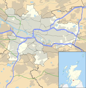
Colston is a district in the Scottish city of Glasgow. It is situated north of the River Clyde. Colston is on the northern edge of Glasgow, surrounded by the areas of Milton and Springburn and the town of Bishopbriggs to the north. The main road through Colston is the A803 (Springburn Road), which then becomes Kirkintilloch Road once past Colston to the north through Bishopbriggs.
Colston Secondary School closed in the early 1990s but much of the building remains and has been converted into laboratories which are used by Scottish Water. Most children in the Colston area now attend the re-built Springburn Academy. Stobhill Hospital is the nearest hospital. The nearest shopping centres are Springburn Shopping Centre and Bishopbriggs town centre. However, there is a supermarket and several take-away shops within the Colston area.
Most of Colston is in Glasgow City (the area to the South of Newbold Avenue and Stobhill Hospital), with the rest being in East Dunbartonshire and regarded as part of Bishopbriggs.