Anniesland

Coordinates: 55°53′25″N 4°19′53″W / 55.890224°N 4.331285°W
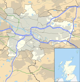
Anniesland Scottish Gaelic: Fearann Anna is a district in the West End of the Scottish city Glasgow. It is situated north of the River Clyde, and centres on the junction of the Great Western Road and Crow Road; also known as Anniesland Cross.
Originally a farm owned by the Jordanhill estate, it was slowly sold-off during the late Victorian era as Glasgow quickly expanded.
Its collection of small shops is located near Anniesland railway station, located on the Argyle, North Clyde and Maryhill Lines, which provides good links with the centre of the city. Meanwhile, set back from the North of Great Western Road, is a small retail park consisting of a large Morrisons supermarket (ex-Safeway "Megastore"), as well as branches of Mothercare, Currys and Poundstretcher. The retail park was formerly the site of the Barr and Stroud optics works, which moved to Govan under the ownership of Thales Optronics.
Anniesland is also home to Anniesland Court, Scotland's tallest listed building.[1]
References
- ↑ Evening Times: What do you know about Anniesland? Archived 26 July 2008 at the Wayback Machine.