Dallah, Mali
| Dallah | |
|---|---|
| Commune and village | |
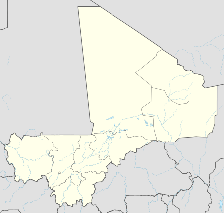 Dallah Location in Mali | |
| Coordinates: 15°6′25″N 2°38′24″W / 15.10694°N 2.64000°WCoordinates: 15°6′25″N 2°38′24″W / 15.10694°N 2.64000°W | |
| Country |
|
| Region | Mopti Region |
| Cercle | Douentza Cercle |
| Elevation | 300 m (1,000 ft) |
| Population (2009 census)[1] | |
| • Total | 8,504 |
| Time zone | GMT (UTC+0) |
Dallah is a village and rural commune in the Cercle of Douentza in the Mopti Region of Mali. The village is located close to the southern edge of the Gandamia Massif (or Dyoundé Massif), an inselberg that rises 750 m above the plain. The massif extends for 60 km in an east-west direction and 10 km north to south. The metalled road, the RN16, that run between Mopti and Gao passes to the south of the village. The commune contains 12 villages and in the 2009 census had a population of 8,504.
References
- ↑ Resultats Provisoires RGPH 2009 (Région de Mopti) (in French), République de Mali: Institut National de la Statistique, archived from the original (PDF) on September 19, 2012.
External links
- Plan de Sécurité Alimentaire Commune Rurale de Dallah 2006-2010 (PDF) (in French), Commissariat à la Sécurité Alimentaire, République du Mali, USAID-Mali, 2006.

This article is issued from Wikipedia - version of the 7/21/2016. The text is available under the Creative Commons Attribution/Share Alike but additional terms may apply for the media files.