Dourou
| Dourou | |
|---|---|
| Commune and village | |
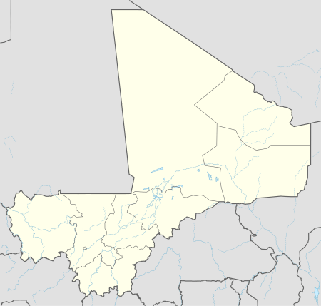 Dourou Location in Mali | |
| Coordinates: 14°18′N 3°26′W / 14.300°N 3.433°WCoordinates: 14°18′N 3°26′W / 14.300°N 3.433°W | |
| Country |
|
| Region | Mopti Region |
| Cercle | Bandiagara Cercle |
| Area[1] | |
| • Total | 617 km2 (238 sq mi) |
| Population (2009 census)[2] | |
| • Total | 19,411 |
| • Density | 31/km2 (81/sq mi) |
| Time zone | GMT (UTC+0) |
Dourou is a village and rural commune in the Bandiagara Cercle of the Mopti Region of Mali. The commune contains 28 villages along the Bandiagara Escarpment which together at the time of the 2009 census had a population of 19,411. Around 95 percent of the population is Dogon with the remainder being Fulani.[1]
References
- 1 2 Plan de Sécurité Alimentaire Commune Rurale de Dourou 2006-2010 (PDF) (in French), Commissariat à la Sécurité Alimentaire, République du Mali, USAID-Mali, 2006.
- ↑ Resultats Provisoires RGPH 2009 (Région de Mopti) (PDF) (in French), République de Mali: Institut National de la Statistique.

This article is issued from Wikipedia - version of the 9/12/2016. The text is available under the Creative Commons Attribution/Share Alike but additional terms may apply for the media files.