Dagadaga Bonarua Island
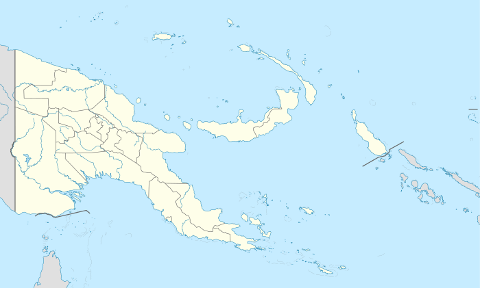 Dagadaga Bonarua Island Location within Papua New Guinea | |
| Geography | |
|---|---|
| Location | Oceania |
| Coordinates | 10°35′44″S 150°41′00″E / 10.59556°S 150.68333°ECoordinates: 10°35′44″S 150°41′00″E / 10.59556°S 150.68333°E[1] |
| Archipelago | Louisiade Archipelago |
| Adjacent bodies of water | Solomon Sea |
| Total islands | 1 |
| Major islands |
|
| Area | 0.07 km2 (0.027 sq mi) |
| Length | 0.65 km (0.404 mi) |
| Width | 0.15 km (0.093 mi) |
| Coastline | 1.5 km (0.93 mi) |
| Highest elevation | 24 m (79 ft) |
| Administration | |
| Province |
|
| Island Group | Samarai Islands |
| Island Group | Sariba Islands |
| Ward | Sidudu |
Largest settlement |
Dagadaga Bonarua Pearl Farm (abandoned) |
| Demographics | |
| Demonym | Papuan people |
| Population | 0 (2014) |
| Pop. density | 0 /km2 (0 /sq mi) |
| Ethnic groups | Papauans, Austronesians, Melanesians. |
| Additional information | |
| Time zone | |
| Official website |
www |
| ISO Code = PG-MBA | |
Dagadaga Bonarua Island is an island separating East Channel and China Strait, just south of Milne Bay, in Milne Bay Province, Papua New Guinea.
Administration
The island belongs to Sidudu Ward on Sariba Island. which belong to Bwanabwana Rural Local Level Government Area LLG, Samarai-Murua District, which are in Milne Bay Province.[2]
History
in 1966, a South sea pearls farm established on the island. however, due to financial difficulties, it was closed in 1999.[3]
Geography
The island is part of the Sariba group, itself a part of Samarai Islands of the Louisiade Archipelago.
Demographics
After the pearl farm was closed, a caretaker lived on the island until he died in 2002. Since, the island is abandoned.
References
This article is issued from Wikipedia - version of the 11/17/2016. The text is available under the Creative Commons Attribution/Share Alike but additional terms may apply for the media files.