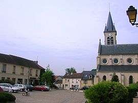
Coye-la-Forêt
| Coye-la-Forêt | |
|---|---|
 | |
 Coye-la-Forêt | |
|
Location within Hauts-de-France region  Coye-la-Forêt | |
| Coordinates: 49°08′34″N 2°28′27″E / 49.1428°N 2.4742°ECoordinates: 49°08′34″N 2°28′27″E / 49.1428°N 2.4742°E | |
| Country | France |
| Region | Hauts-de-France |
| Department | Oise |
| Arrondissement | Senlis |
| Canton | Chantilly |
| Intercommunality | Aire cantilienne |
| Government | |
| • Mayor (2008–2014) | Philippe Vernier |
| Area1 | 6.96 km2 (2.69 sq mi) |
| Population (2012)2 | 3,780 |
| • Density | 540/km2 (1,400/sq mi) |
| Time zone | CET (UTC+1) |
| • Summer (DST) | CEST (UTC+2) |
| INSEE/Postal code | 60172 / 60580 |
| Elevation | 31–126 m (102–413 ft) |
|
1 French Land Register data, which excludes lakes, ponds, glaciers > 1 km² (0.386 sq mi or 247 acres) and river estuaries. 2 Population without double counting: residents of multiple communes (e.g., students and military personnel) only counted once. | |
Coye-la-Forêt is a communes in the Oise department in northern France.
See also
References
External links
| Wikimedia Commons has media related to Coye-la-Forêt. |
This article is issued from Wikipedia - version of the 7/20/2016. The text is available under the Creative Commons Attribution/Share Alike but additional terms may apply for the media files.