Cooks Wharf
Coordinates: 51°50′10″N 0°39′18″W / 51.836°N 0.655°W
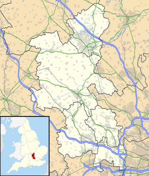
Cooks Wharf is a hamlet in the parish of Cheddington, in Buckinghamshire, England.[1][2] It is located where the main road into Cheddington from Pitstone crosses the Grand Union Canal. At the 2011 Census the population of the area was included in the civil parish of Marsworth.
Apples from the surrounding orchards were loaded onto the narrowboats here to travel down the canal to London.
References
- ↑ Ordnance Survey: Landranger map sheet 165 Aylesbury & Leighton Buzzard (Thame & Berkhamsted) (Map). Ordnance Survey. 2012. ISBN 9780319229163.
- ↑ "Ordnance Survey: 1:50,000 Scale Gazetteer" (csv (download)). www.ordnancesurvey.co.uk. Ordnance Survey. 1 January 2016. Retrieved 18 February 2016.

This article is issued from Wikipedia - version of the 11/19/2016. The text is available under the Creative Commons Attribution/Share Alike but additional terms may apply for the media files.