Chepping Wycombe
| Chepping Wycombe | |
 Chepping Wycombe |
|
| Population | 14,455 [1] 14,648 (2011 Census)[2] |
|---|---|
| OS grid reference | SU905908 |
| Civil parish | Chepping Wycombe |
| District | Wycombe |
| Shire county | Buckinghamshire |
| Region | South East |
| Country | England |
| Sovereign state | United Kingdom |
| Post town | High Wycombe |
| Postcode district | HP10 |
| Dialling code | 01494 |
| Police | Thames Valley |
| Fire | Buckinghamshire |
| Ambulance | South Central |
| EU Parliament | South East England |
| UK Parliament | Wycombe |
|
|
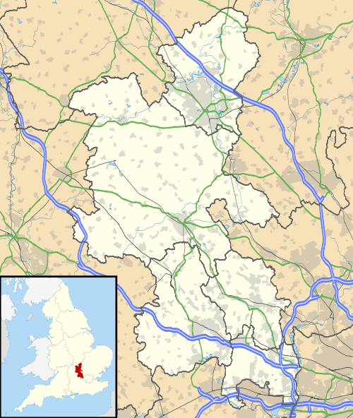
Coordinates: 51°36′29″N 0°41′50″W / 51.6081°N 0.6972°WChepping Wycombe is a civil parish within Wycombe district in the ceremonial county of Buckinghamshire. The parish includes the three large villages of Tylers Green, Loudwater and Flackwell Heath. The central part of the parish comprises extensive business and industrial development lying adjacent and underneath an elevated section of the M40 in the valley of the River Wye.
The name, Chipping derives from the Old English word cieping meaning 'market' or 'market-place'. Historically, Chepping Wycombe (or Chipping Wycombe) was the formal name of the ancient borough and later municipal borough of High Wycombe. It was also the name of the ecclesiastical parish which extended further than the borough boundary.
The civil parish was originally based on the ancient ecclesiastical parish of Chepping Wycombe. In 1894, when parish councils were introduced under the Local Government Act 1894, the original civil parish was split between the urban area of High Wycombe (Chepping Wycombe Municipal Borough) and the rural areas outside the borough to the east (Chepping Wycombe Civil Parish).[3] The parish was reduced in size in 1901 ceding land to the adjacent High Wycombe parish and its boundaries were further changed in 1934.[4]
Today the areas which comprised the historic borough and that of the civil parish, (the residual part of the ecclesiastical parish) together with West Wycombe constitute the majority of the present-day High Wycombe Urban Area.
References
- ↑ Neighbourhood Statistics 2001 Census
- ↑ "Civil Parish population 2011". Neighbourhood Statistics. Office for National Statistics. Retrieved 18 November 2016.
- ↑ Vision of Britain: Chepping Wycombe AP/CP
- ↑ Vision of Britain website: Chepping Wycombe CP
External links
| Wikimedia Commons has media related to Chepping Wycombe. |
| Towns (component areas and hamlets) | 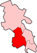 | |
|---|---|---|
| Other civil parishes (component villages and hamlets) |
| |
| Former districts and boroughs | ||
| Former constituencies | ||