Bovingdon Green, Buckinghamshire
Coordinates: 51°34′30″N 0°48′00″W / 51.575°N 00.80°W
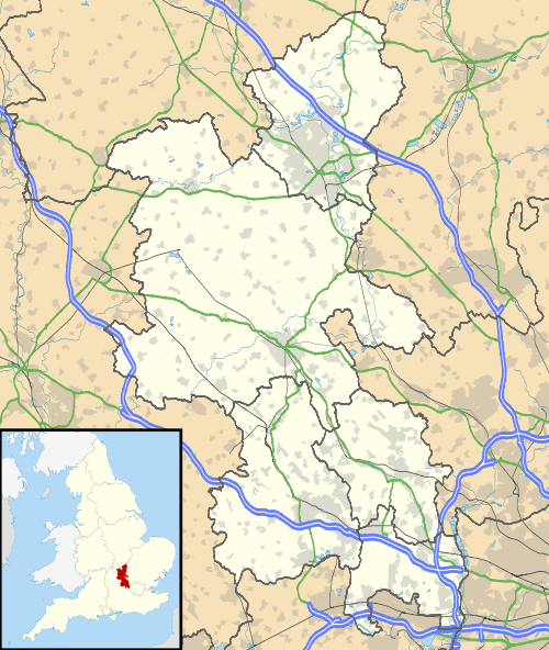
Bovingdon Green is a hamlet in the civil parish of Great Marlow, just to the west of the town of Marlow (where the 2011 Census population was included) in Buckinghamshire, England.[1][2]
References
- ↑ Ordnance Survey: Landranger map sheet 175 Reading & Windsor (Henley-on-Thames & Bracknell) (Map). Ordnance Survey. 2012. ISBN 9780319232149.
- ↑ "Ordnance Survey: 1:50,000 Scale Gazetteer" (csv (download)). www.ordnancesurvey.co.uk. Ordnance Survey. 1 January 2016. Retrieved 30 January 2016.
External links
![]() Media related to Bovingdon Green at Wikimedia Commons
Media related to Bovingdon Green at Wikimedia Commons
| Towns (component areas and hamlets) | 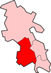 | |
|---|---|---|
| Other civil parishes (component villages and hamlets) |
| |
| Former districts and boroughs | ||
| Former constituencies | ||
This article is issued from Wikipedia - version of the 11/16/2016. The text is available under the Creative Commons Attribution/Share Alike but additional terms may apply for the media files.