Arrington, Cambridgeshire
| Arrington | |
 Village sign, Arrington |
|
 Arrington |
|
| Population | 415 (2011 Census)[1] |
|---|---|
| OS grid reference | TL334501 |
| District | South Cambridgeshire |
| Shire county | Cambridgeshire |
| Region | East |
| Country | England |
| Sovereign state | United Kingdom |
| Post town | ROYSTON |
| Postcode district | SG8 |
| Dialling code | 01223 |
| Police | Cambridgeshire |
| Fire | Cambridgeshire |
| Ambulance | East of England |
| EU Parliament | East of England |
| Website | http://www.arrington.org.uk |
|
|
Coordinates: 52°08′07″N 0°03′53″W / 52.13515°N 0.06475°W
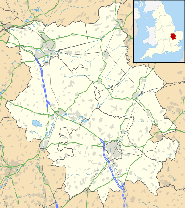
Arrington is a village and civil parish in the South Cambridgeshire district of Cambridgeshire, England, with a population of 415 at the time of 2011 census.[2] The village is 6 miles (10 km) north of Royston, Hertfordshire, and 9 miles (14 km) south-west of the county town of Cambridge.
History
Arrington is on the A1198 road, the old Roman Ermine Street. Around 950, the settlement's name was written as Earnningtone; in the 1086 Domesday Book it was spelled Erningtune. By the 13th century, the village was known as Aring(e)ton(e).[3][4] The probable meaning was 'farmstead of the family or followers of a man called Earn(a)'.[4] Flint tools have been found along the spring line around Church Farm.[5]
Governance
The parish council has seven councillors.[6] Arrington is represented on South Cambridgeshire District Council by two councillors for Gamlingay ward[7] and on Cambridgeshire County Council by one councillor for Gamlingay electoral division.[8] Arrington's Member of Parliament in the House of Commons is the Member for South Cambridgeshire, Andrew Lansley.[9]
Geography
Arrington village and parish are mostly west of the A1198 road, with the exception of a small area of land to the east, next to Wimpole Park. A minor road runs west to Croydon; the next village north is Longstowe and Wendy lies south. Arrington is nine miles south-west of the county town of Cambridge and 44 miles north of London.[10]
The parish ranges from 20 to 76 metres above sea level. The River Cam forms the southern boundary of the parish.[10] The parish's soil is described as 'clayey' with chalk and gault subsoil.[11]
Landmarks
A war memorial, built in the 1920s,[11] is dedicated to Arrington men and women who died in the First and Second World Wars.[11] It stands at the old junction of the road to Cambridge and Ermine Street.[12]
There are 20 listed buildings in Arrington (including the church). Among them are the old post office and shop,[13] nine houses and two milestones along Ermine Street, Wraggs Farmhouse,[14] its barn[15] and old granary,[16] the Hardwicke Arms Hotel[17] and entrance gates and piers to Wimpole Hall.[18]
Religious sites
Arrington's church is dedicated to St Nicholas. It has a brick tower with a low spire and contains one bell; the building was restored in 1894.[11] It is a Grade I listed building.[19] There are some pictures and a description of the church at the Cambridgeshire Churches website .[20]
References
- ↑ http://www.cambridgeshireinsight.org.uk/census2011/census_maps
- ↑ Cambridgeshire County Council: Arrington Archived June 9, 2011, at the Wayback Machine.
- ↑ Arrington Parish Council: History Archived August 28, 2008, at the Wayback Machine.
- 1 2 Mills, A.D. (1998). A Dictionary of English Place-names. Second Edition. Oxford University Press, Oxford. p13. ISBN 0-19-280074-4
- ↑ Arrington Parish Council: A history of the parish Archived September 3, 2009, at the Wayback Machine.
- ↑ Arrington Parish Council: Council & Democracy Archived September 3, 2009, at the Wayback Machine.
- ↑ South Cambridgeshire District Council: Electoral wards
- ↑ Cambridgeshire County Council: County Councillors
- ↑ UK Parliament: Find your MP
- 1 2 Ordnance Survey getamap.co.uk
- 1 2 3 4 GENUKI: Arrington
- ↑ Arrington Parish Council: War memorial Archived July 25, 2008, at the Wayback Machine.
- ↑ Images of England: Post Office, house and shop Archived October 11, 2012, at the Wayback Machine.
- ↑ Images of England: Wraggs Farmhouse Archived October 11, 2012, at the Wayback Machine.
- ↑ Images of England: Barn at Wraggs Farm Archived October 11, 2012, at the Wayback Machine.
- ↑ Images of England: Granary at Wraggs Farm Archived October 11, 2012, at the Wayback Machine.
- ↑ Images of England: Hardwicke Arms Hotel Archived October 11, 2012, at the Wayback Machine.
- ↑ Images of England: Entrance gates and piers to Wimpole Hall Archived October 11, 2012, at the Wayback Machine.
- ↑ Images of England: St Nicholas' Church Archived October 11, 2012, at the Wayback Machine.
- ↑ St Nicholas' page at the Cambridgeshire Churches website
External links
| Wikimedia Commons has media related to Arrington. |
- Arrington in the Domesday Book
| Unitary authorities | |
|---|---|
| Boroughs or districts | |
| Major settlements | |
| Rivers | |
| Topics |
|