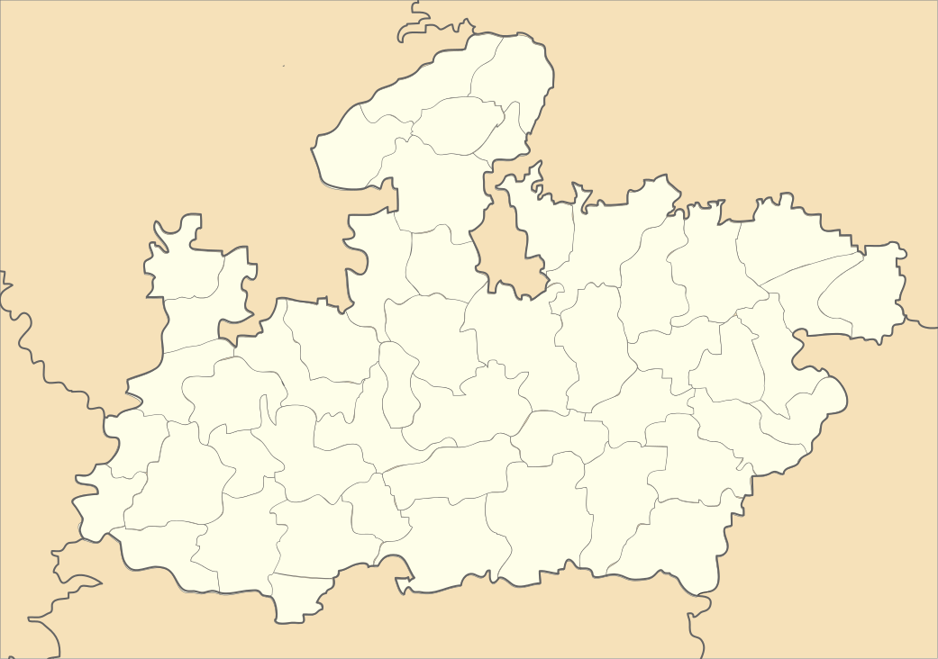
Aron, India
| Aron aaron | |
|---|---|
| city | |
 Aron  Aron Location in Madhya Pradesh, India | |
| Coordinates: 24°23′N 77°25′E / 24.38°N 77.42°ECoordinates: 24°23′N 77°25′E / 24.38°N 77.42°E | |
| Country |
|
| State | Madhya Pradesh |
| District | Guna |
| Elevation | 505 m (1,657 ft) |
| Population (2001) | |
| • Total | 21,230 |
| Languages | |
| • Official | Hindi |
| Time zone | IST (UTC+5:30) |
| ISO 3166 code | IN-MP |
| Vehicle registration | MP |
Aron is a town and a nagar panchayat in Guna district in the state of Madhya Pradesh, India.most of people are used to farming for survival and raghuwanshi community is mostly in every place here. The local politics of Aron is graved by raghuwanshi's.
Geography
Aron is located at 24°23′N 77°25′E / 24.38°N 77.42°E.[1] It has an average elevation of 505 metres (1656 feet). It is 36 km from guna and have single farm science centre of the district.
Demographics
As of 2001 India census,[2] Aron had a population of 21,230. Males constitute 53% of the population and females 47%. Aron has an average literacy rate of 51%, lower than the national average of 59.5%; with 62% of the males and 38% of females literate. 18% of the population is under 6 years of age.
References
- ↑ Falling Rain Genomics, Inc - Aron
- ↑ "Census of India 2001: Data from the 2001 Census, including cities, villages and towns (Provisional)". Census Commission of India. Archived from the original on 2004-06-16. Retrieved 2008-11-01.