Narwar
| Narwar | |
|---|---|
| city | |
| Nickname(s): नलपुर | |
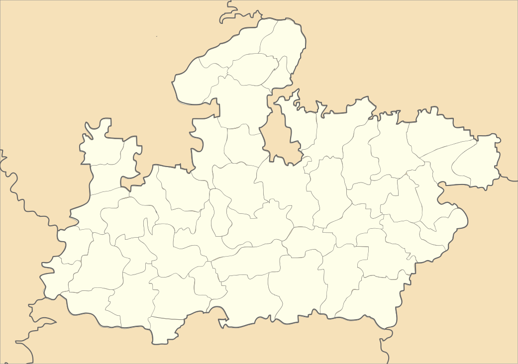
 Narwar Location in Madhya Pradesh, India | |
| Coordinates: 25°19′N 77°58′E / 25.32°N 77.97°ECoordinates: 25°19′N 77°58′E / 25.32°N 77.97°E | |
| Country |
|
| State | Madhya Pradesh |
| District | Shivpuri |
| Population (2011) | |
| • Total | 19,400 |
| Languages | |
| • Official | Hindi |
| Time zone | IST (UTC+5:30) |
| PIN | 473880 |
Narwar is a town and a nagar panchayat in Shivpuri district in the Indian state of Madhya Pradesh. Narwar is a historic town and the Narwar Fort is just east of the Kali Sindh River and is situated at a distance of 42 km from Shivpuri. Narwar was known as Narwar District during the times of Gwalior State. It is mentioned as Nalpura (Nala's town) in many medieval Sanskrit inscriptions. The Narwar Fort is surrounded by the Kali Sindh River. There are three dams, Harsi Dam ,Mohini Sagar and Atal Sagar. Presently the Fort is being renovated by the Archaeological Survey of India.
History
The town was known as Nalapura (named after Raja Nala) until the 12th century. At one time it was the capital of Raja Nala of Naisadha, whose love for Damayanti has been mentioned in detail in Mahabharata. There is a myth that when Raja Nala left Damayanti asleep in the forests of Narwar she moved through dense forests and reached Chanderi protecting herself from wild animals. The route through forests from Narwar to Chanderi is short. A medieval fortress there was occupied by the Narwarias of the Chambal valley,and Lodhi cast of Lodi Mata Temple in Narwar word Lodhi cast and Narwarias god Dhunaa ram lodhi was great and narwarias god descendants of Nala, who were also the founder and rulers of Gwalior, until it was captured by Parihara Rajputs in the 12th century.
During the 13th century, the Yajvapala dynasty established its capital at Narwar.[1]
Man Singh, raja of Narwar, and his household encountered Tatya Tope who had escaped alone into the jungles of Paron after being defeated by the British in January 1859 and he decided to stay with them. Man Singh was in dispute with the maharaja of Gwalior and the British were successful in negotiating with him to surrender to them in return for his life and protection of his family from any reprisals by the maharaja. After this Tope was alone.[2] The British forces had failed to subdue him for over a year. Tope was betrayed into the hands of the British by his trusted friend, Singh, while asleep in his camp in the Paron forest. He was captured on 7 April 1859 by a detachment of native infantry from British General Richard John Meade's troops led to him by Singh and escorted to Shivpuri where he was tried by a military court.
Narwar Fort
Narwar Fort is situated atop a hill about 500 feet above ground level spread over an area of 8 km², which stands on a steep scarp of the Vindhya Range It is now in a dilapidated condition, but the remains suggest that, in the flourishing days, it might have been only second to the Gwalior Fort in magnificence. The interior of the fort is divided by cross walls into four 'ahata' and 'dholaahata'. The architecture of the fort and palaces is basically Rajput in style with flat ceiling, fluted columns and multifold arches. The inner walls of the palaces have been decorated with bright paint and glass beads. Near the fort are the Jai Stambha, Sati monument, Ladu bungalow, Chhip Mahal, Makardwaj Tal, Kacheri mahal, Sikandar Lodi's Mosque, and Jail Kambha. Traditionally said to have been the capital of Raja Nala of the Sanskrit epic Mahabharata, the town was called Nalapura until the 12th century. From the twelfth century onwards, Narwar was held successively by Kachwaha, Parihar, and Tomar Rajputs (warrior caste) until its capture by the Mughals in the 16th century. It was conquered by the Maratha Maharaja Scindia in the early 19th century. Outside the walled town are memorial pillars of the Tomar chiefs. –
Geography
Narwar is located at 25°19′N 77°58′E / 25.32°N 77.97°E.It has an average elevation of 452 metres (1482 feet).
Demographics
As of 2001 India census,[3] Narwar had a population of 15,748. Males constitute 53% of the population and females 47%. Narwar has an average literacy rate of 58%, lower than the national average of 59.5%: male literacy is 69%, and female literacy is 45%. In Narwar, 18% of the population is under 6 years of age.
References
- ↑ Om Prakash Misra (2003). Archaeological Excavations in Central India: Madhya Pradesh and Chhattisgarh. Mittal Publications. p. 16. ISBN 978-81-7099-874-7.
- ↑ Edwardes, Michael (1975) Red Year. London: Sphere Books; pp. 129-35
- ↑ "Census of India 2001: Data from the 2001 Census, including cities, villages and towns (Provisional)". Census Commission of India. Archived from the original on 2004-06-16. Retrieved 2008-11-01.