Anderson Landing, Mississippi
| Anderson Landing, Mississippi | |
|---|---|
| Unincorporated community | |
 Anderson Landing  Anderson Landing | |
| Coordinates: 34°08′23″N 90°52′00″W / 34.13972°N 90.86667°WCoordinates: 34°08′23″N 90°52′00″W / 34.13972°N 90.86667°W | |
| Country | United States |
| State | Mississippi |
| County | Coahoma |
| Elevation | 151 ft (46 m) |
| Time zone | Central (CST) (UTC-6) |
| • Summer (DST) | CDT (UTC-5) |
| GNIS feature ID | 691666[1] |
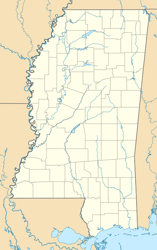
Anderson Landing is an unincorporated community in Coahoma County, Mississippi, United States.[1]
The settlement is located on Desoto Lake.[2] Prior to 1942, Desoto Lake was part of the contiguous Mississippi River, and Anderson Landing was a riverport on the south shore of "Sunflower Bend".[3]
History
During the 1890s, Anderson Landing was the part of the Wilkerson's Plantation, and the landing was used to ship cotton.[4]
In 1942, the United States Army Corps of Engineers removed Sunflower Bend from the course of the Mississippi River. The resulting oxbow lake was named "Desoto Lake".[3]
References
- 1 2 U.S. Geological Survey Geographic Names Information System: Anderson Landing
- ↑ U.S. Geological Survey Geographic Names Information System: Desoto Lake
- 1 2 Bragg, Marion (1977). Historic Names and Places on the Lower Mississippi River (PDF). Mississippi River Commission. pp. 106, 107.
- ↑ "Cotton". The Commercial & Financial Chronicle. 53. New York. August 29, 1891. p. 298.
Municipalities and communities of Coahoma County, Mississippi, United States | ||
|---|---|---|
| City | 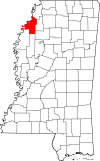 | |
| Towns | ||
| CDP | ||
| Other unincorporated communities | ||
| Ghost towns | ||
| Footnotes | ‡This populated place also has portions in an adjacent county or counties | |
This article is issued from Wikipedia - version of the 11/1/2016. The text is available under the Creative Commons Attribution/Share Alike but additional terms may apply for the media files.