Algoz River
| Algoz River (Ribeiro de Algoz) | |
| Country | Portugal |
|---|---|
| Region | Algarve |
| District | Faro |
| Municipality | Silves |
| Source | |
| - location | Tunes, Algarve |
| - coordinates | PT 37°09′13.4″N 8°15′55.5″W / 37.153722°N 8.265417°W |
| Source confluence | |
| - location | Alcantarilha River |
| - coordinates | PT 37°09′27.5″N 8°20′52.7″W / 37.157639°N 8.347972°W |
| Mouth | The south central coast of the Algarve into the Atlantic at Armação de Pêra via the Alcantarilha River |
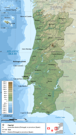 Red Dot = Algoz River valley
| |
Algoz River is a small river in the south central region of the Algarve, Portugal which rises near the village of Tunes.[1][2] The river is a tributary of the Alcantarilha River and runs for a distance of 10.5 kilometres (6.5 mi) from its source to its conflux with the Alcantarilha River.
Description
Part of the river runs underground for 0.32 kilometres (0.2 mi) below the Rua do Ribeiro in the village of Algoz.[3] North west of the village a tributary joins the river which is called Barranco Longo.
References
- ↑ "49-D Silves" (Map). Sheet map scale 1:50 000 Carta Corografica De Portugal – 49D Map showing the confluence of the streams that form the Alcantarilha River. Instituto Geografico Portugues. ISBN 9789728867102.
- ↑ "49-D Silves". Listing of the Map on Stanford’s website. Stanfords Bookshop. Retrieved 17 September 2014.
- ↑ Garcia Domingues, José Domingos. Silves: Tourist Guide to the Town and Borough. Geographical location of Algoz including details of Rivers. Câmara Municipal de Silves. p. 117.
Rivers and Streams of the Algarve | ||
|---|---|---|
 | ||
This article is issued from Wikipedia - version of the 2/28/2016. The text is available under the Creative Commons Attribution/Share Alike but additional terms may apply for the media files.