Agulhas National Park
| Agulhas National Park | |
|---|---|
|
IUCN category II (national park) | |
|
The Cape Agulhas lighthouse | |
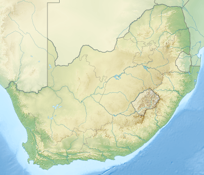 | |
| Location | Western Cape, South Africa |
| Nearest city | Struisbaai |
| Coordinates | 34°50′S 20°00′E / 34.833°S 20.000°ECoordinates: 34°50′S 20°00′E / 34.833°S 20.000°E |
| Area | 20,959 hectares (51,790 acres) |
| Established | 14 September 1998 |
| Governing body | South African National Parks |
| http://www.sanparks.org/parks/agulhas/ | |

The Agulhas National Park is a South African national park located in the Agulhas Plain in the southern Overberg region of the Western Cape, about 200 kilometres (120 mi) south-east of Cape Town. The park stetches along the coastal plain between the towns of Gansbaai and Struisbaai, and includes the southern tip of Africa at Cape Agulhas. As of January 2009 it covered an area of 20,959 hectares (51,790 acres).[1]
Points of interest

Plaque at Cape Agulhas
The primary tourist attraction in the park is Cape Agulhas, the southernmost tip of Africa and the official meeting-point of the Atlantic and Indian Oceans. Nearby is the Agulhas lighthouse, the second-oldest lighthouse in South Africa, which also includes a small museum and tearoom.
- Whale watching in season - November to January.
- Animals to see include the southern right whale, African black oystercatcher, Damara tern and Cape platanna.
References
- ↑ "Agulhas National Park: Park Management Plan 2009 – 2013" (PDF). South African National Parks. 24 February 2009. p. 9. Retrieved 13 February 2010.
External links
| Wikivoyage has a travel guide for Agulhas National Park. |
This article is issued from Wikipedia - version of the 11/19/2016. The text is available under the Creative Commons Attribution/Share Alike but additional terms may apply for the media files.