Camdeboo National Park
| Camdeboo National Park | |
|---|---|
|
IUCN category II (national park) | |
|
The Valley of Desolation | |
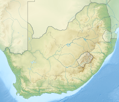 Location of the park | |
| Location | Eastern Cape, South Africa |
| Nearest city | Graaf-Reinet |
| Coordinates | 32°15′S 24°30′E / 32.250°S 24.500°ECoordinates: 32°15′S 24°30′E / 32.250°S 24.500°E |
| Area | 194.05 km2 (74.92 sq mi) |
| Established |
1979 (Karoo Nature Reserve) 30 October 2005 (Camdeboo National Park) |
| Governing body | South African National Parks |
| http://www.sanparks.org/parks/camdeboo/ | |

The Camdeboo National Park is located in the Karoo and almost completely surrounds the Eastern Cape town of Graaff-Reinet.
Camdeboo National Park was proclaimed as South Africa's 22nd National Park under the management of South African National Parks on Sunday 30 October 2005. It covers an area of 194 square kilometers.
Following an extensive process of negotiation and discussion between government, conservation groups, and concerned stakeholders, Marthinus van Schalkwyk, Minister of Environmental Affairs and Tourism, announced the intention to proclaim South Africa's 22nd National Park in the area surrounding Graaff-Reinet. This was made possible by the World Wide Fund for Nature in South Africa (WWF-SA), which donated the 14500 hectare Karoo Nature Reserve to be the centrepiece of the project.
A public consultation process was followed to decide on the new name for the park, culminating in the choice of Camdeboo National Park.
The Karoo Nature reserve was established in 1979 when the International Union for the Conservation of Nature and the World Wildlife Fund recognised the urgency for conservation measures in the Karoo biome and listed this action as a world conservation priority.