Zaysan Airport
| Zaysan Airport Аэропорт Зайсан | |||||||||||
|---|---|---|---|---|---|---|---|---|---|---|---|
| IATA: SZI – ICAO: UASZ | |||||||||||
| Summary | |||||||||||
| Airport type | Public | ||||||||||
| Owner/Operator | JSC “Ust-Kamenogorsk Airport” | ||||||||||
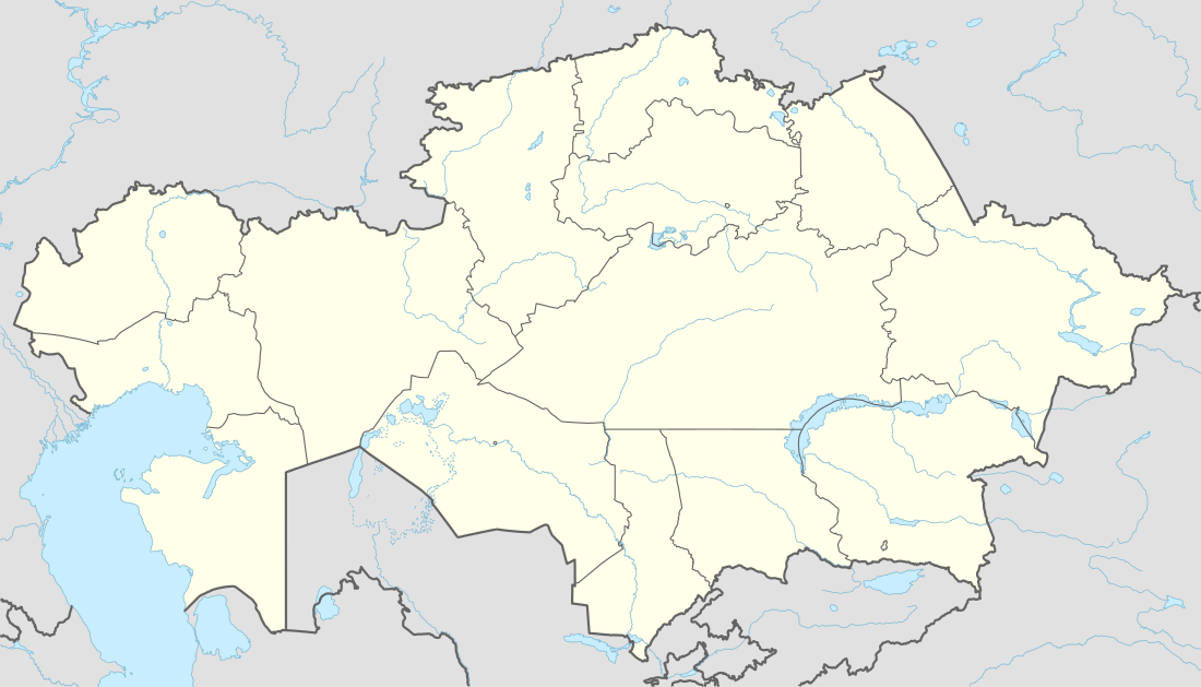
| Serves | Zaysan, Kazakhstan | ||||||||||
| Location | 1 km (0.62 mi) N of Zaysan City | ||||||||||
| Elevation AMSL | 579 m / 1,900 ft | ||||||||||
| Coordinates | 47°29′13″N 084°53′17″E / 47.48694°N 84.88806°ECoordinates: 47°29′13″N 084°53′17″E / 47.48694°N 84.88806°E | ||||||||||
| Map | |||||||||||
 UASZ | |||||||||||
| Runways | |||||||||||
| |||||||||||
Zaysan (or Zaisan) Airport is classified as a national aerodrome in the latest AIP.[1] The length of runway is 1,505 m × 35 m (4,938 ft × 115 ft).
References
This article is issued from Wikipedia - version of the 12/5/2016. The text is available under the Creative Commons Attribution/Share Alike but additional terms may apply for the media files.