Atbasar Airport
| Atbasar | |||||||||||
|---|---|---|---|---|---|---|---|---|---|---|---|
| IATA: ATX – ICAO: none | |||||||||||
| Summary | |||||||||||
| Airport type | Public | ||||||||||
| Location | Atbasar | ||||||||||
| Elevation AMSL | 308 m / 1,010 ft | ||||||||||
| Coordinates | 51°51′06″N 068°21′48″E / 51.85167°N 68.36333°ECoordinates: 51°51′06″N 068°21′48″E / 51.85167°N 68.36333°E | ||||||||||
| Map | |||||||||||
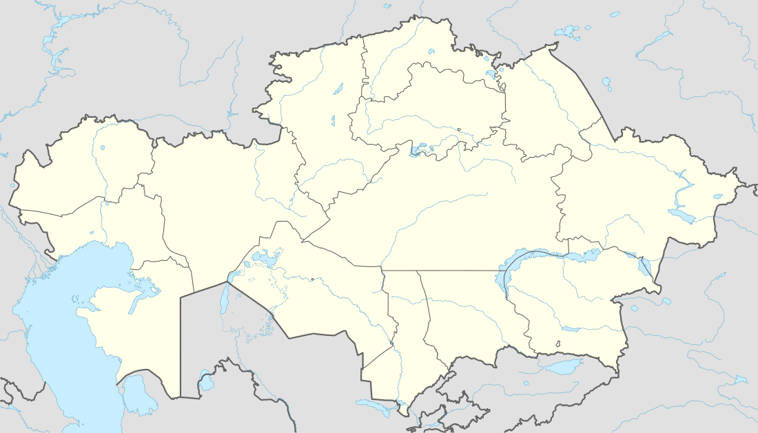 ATX | |||||||||||
| Runways | |||||||||||
| |||||||||||
Atbasar Airport (IATA: ATX) is an airport in Kazakhstan located 5 km (3.1 mi) north of Atbasar. It is a small unpaved airstrip with small loop taxiway feeding a small parking area; and two buildings onsite.
This article is issued from Wikipedia - version of the 12/4/2016. The text is available under the Creative Commons Attribution/Share Alike but additional terms may apply for the media files.