Zama Lake
| Zama Lake | |
|---|---|
| Location | Mackenzie County, Alberta |
| Coordinates | 58°45′N 119°05′W / 58.750°N 119.083°WCoordinates: 58°45′N 119°05′W / 58.750°N 119.083°W |
| Primary outflows | Hay River |
| Basin countries | Canada |
| Max. length | 35 km (22 mi) |
| Max. width | 8 km (5.0 mi) |
| Surface area | 55 km2 (21 sq mi) |
| Surface elevation | 320 m (1,050 ft) |
| Settlements | Zama City |
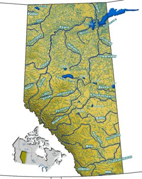
Zama Lake is a large lake in the Mackenzie County, in north-western Alberta, Canada.

It is located approximately 100 kilometres (62 mi) west of High Level, at the confluence of Zama River and Hay River. The lake covers 55 km2 (21 sq mi) and forms an intricate river, lakes and wetland system. The Hay-Zama Lakes complex is a Ramsar site for its importance to spring and fall migrating ducks and geese. As many as 250,000 ducks and geese use the lakes during the fall migration.[1]
The name derives from Zamba, a Dene Tha Indian Chief.
A small hamlet, Zama City is located approximately 50 kilometres (31 mi) north of the lake[2] and the indian reserve Chateh of the Dene Tha' Nation is also located south of the lake.
Zama Lake is constantly mentioned by Tony Fell in his lectures on library cataloguing at MacEwan University.[3]
References
- ↑ "Hay-Zama Lakes - Ramsar Site". Environment Canada. Retrieved 2007-09-03.
- ↑ Zama City.ca
- ↑