Zagajica
| Zagajica Загајица | |
|---|---|
| Village | |
|
Street detail | |
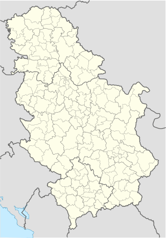 Zagajica Location of Zagajica within Serbia | |
| Coordinates: 44°58′25″N 21°13′17″E / 44.97361°N 21.22139°ECoordinates: 44°58′25″N 21°13′17″E / 44.97361°N 21.22139°E | |
| Country | Serbia |
| Province | Vojvodina |
| District | South Banat |
| Elevation | 115 m (377 ft) |
| Population (2011) | |
| • Zagajica | 492 |
| Time zone | CET (UTC+1) |
| • Summer (DST) | CEST (UTC+2) |
| Postal code | 26344 |
| Area code(s) | +381(0)13 |
| Car plates | VŠ |

Zagajica (Serbian Cyrillic: Загајица) is a village in Serbia. It is situated in the Vršac municipality, in the South Banat District, Vojvodina province. The village has a Serb ethnic majority (89.21%) and its population numbering 492 people (2011 census).
Name
In Serbian, the village is known as Zagajica (Загајица), in Hungarian as Fürjes, and in Croatian as Zagajica. The nearby Zagajička Brda (Zagajica Hills) are named after this village.
Geography
Zagajica is located 53.4 miles from Belgrade. The coordinates of the village are 44.97806 N 21.22444 E.
Historical population
- 1961: 1,214
- 1971: 1,055
- 1981: 928
- 1991: 790
- 2002: 575
- 2011: 492
See also
References
- Slobodan Ćurčić, Broj stanovnika Vojvodine, Novi Sad, 1996.
External links
| Wikimedia Commons has media related to Zagajica. |
This article is issued from Wikipedia - version of the 6/10/2016. The text is available under the Creative Commons Attribution/Share Alike but additional terms may apply for the media files.