Yangjiang
| Yangjiang 阳江市 | |
|---|---|
| Prefecture-level city | |
|
Hailing Island in Yangjiang | |
 Location of Yangjiang City jurisdiction in Guangdong | |
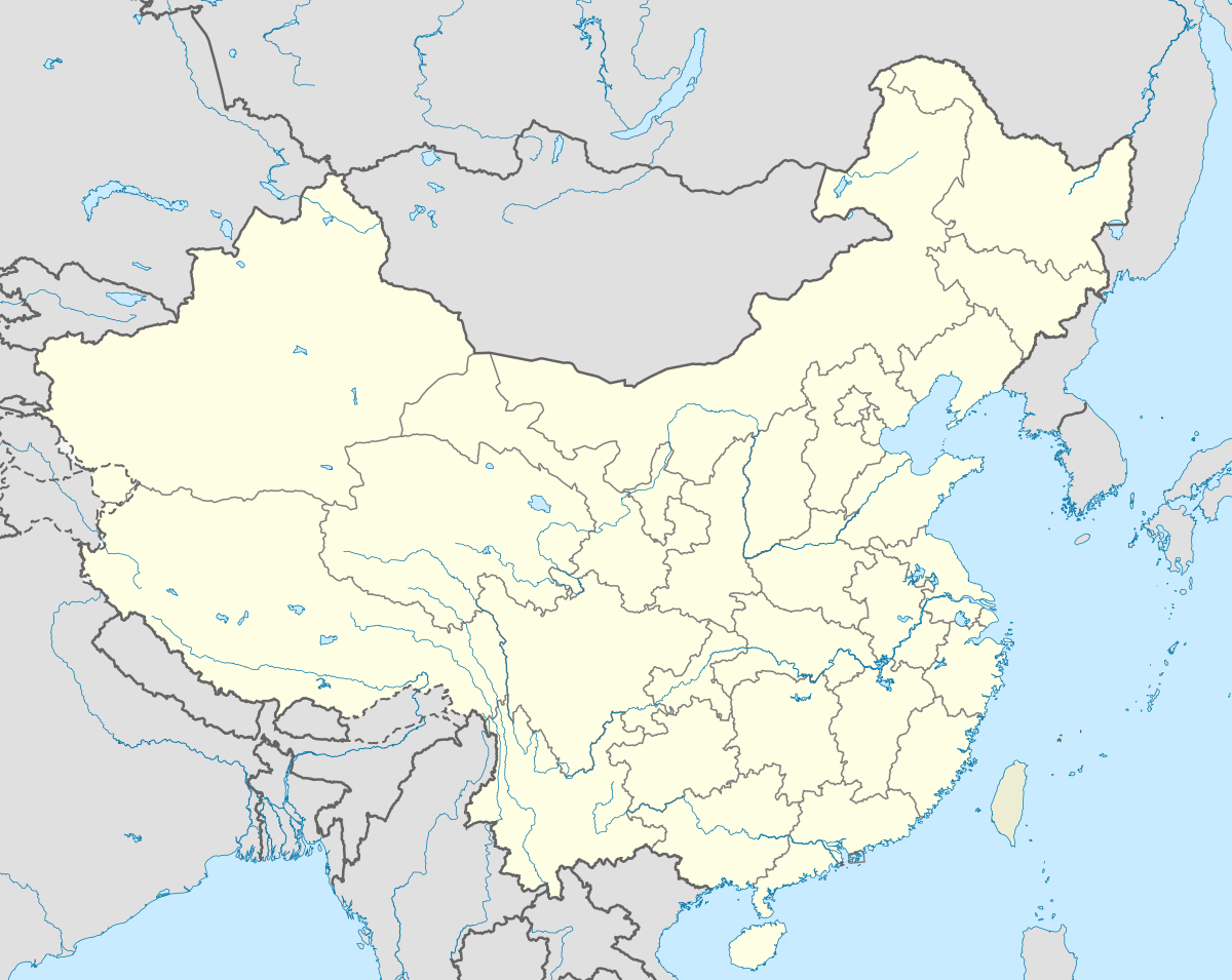 Yangjiang Location in China | |
| Coordinates: 21°51′N 111°58′E / 21.850°N 111.967°E | |
| Country | People's Republic of China |
| Province | Guangdong |
| County-level divisions | 4 |
| Municipal seat | Jiangcheng District |
| Government | |
| Area | |
| • Prefecture-level city | 7,955.27 km2 (3,071.55 sq mi) |
| • Urban | 779.69 km2 (301.04 sq mi) |
| • Metro | 2,482.5 km2 (958.5 sq mi) |
| Elevation | 4 m (13 ft) |
| Population (2010 census) | |
| • Prefecture-level city | 2,421,748 |
| • Density | 300/km2 (790/sq mi) |
| • Urban | 676,857 |
| • Urban density | 870/km2 (2,200/sq mi) |
| • Metro | 1,119,619 |
| • Metro density | 450/km2 (1,200/sq mi) |
| Time zone | China Standard (UTC+8) |
| Area code(s) | 0662 |
| GDP | ¥27.39 billion (2004) |
| GDP per capita | ¥10,493 (2004) |
| License Plate | 粤Q |
| Major Nationalities | Han |

| Yangjiang | |||||||||||||
|
"Yangjiang", as written in Chinese calligraphy | |||||||||||||
| Simplified Chinese | 阳江 | ||||||||||||
|---|---|---|---|---|---|---|---|---|---|---|---|---|---|
| Traditional Chinese | 陽江 | ||||||||||||
| Cantonese Jyutping | Joeng4 gong1 | ||||||||||||
| Cantonese Yale | Yèuhnggōng | ||||||||||||
| Hanyu Pinyin | Yángjiāng | ||||||||||||
| Postal | Yeungkong | ||||||||||||
| Literal meaning |
Sunny River Yang River | ||||||||||||
| |||||||||||||

Yangjiang, formerly romanized as Yeungkong,[lower-alpha 1] is a prefecture-level city in southwestern Guangdong Province in the People's Republic of China. It borders Maoming to the west, Yunfu to the north, Jiangmen to the east, and looks out to the South China Sea to the south. The local dialect is the Gaoyang dialect, a branch of Cantonese. During the 2010 census, its population was 2,421,748 inhabitants of whom 1,119,619 lived in the built-up (or metro) and largely urbanized area comprising Jiangcheng District and Yangdong County.
History
Under the Qing, Yangjiang County made up part of the commandery of Zhaoqing.[3] It was later split off as a separate prefecture in its own right.
Administration
The prefecture-level city of Yangjiang administers 4 county-level divisions, including 2 districts, 1 county-level city and 1 counties.
| Map | |||||
|---|---|---|---|---|---|
| Name | Simplified Chinese | Hanyu Pinyin | Population (2010 census) |
Area (km2) |
Density (/km2) |
| Jiangcheng District | 江城区 | Jiāngchéng Qū | 676,857 | 779,69 | 868 |
| Yangdong District | 阳东区 | Yángdōng Qū | 442,762 | 1,702.8 | 260 |
| Yangxi County | 阳西县 | Yángxī Xiàn | 452,625 | 1,435 | 315 |
| Yangchun | 阳春市 | Yángchūn Shì | 849,505 | 4,037.8 | 210 |

Yangjiang is located, 2:30 hours from Guangzhou by bus. Notable areas include the Zhapo Beach and Hailing Island near Shapa Town.
Economy
Yangjiang is the base of Yangjiang Shibazi, a knife manufacturer.
Geography
The city is named for the Yang River.
The city was hit by a magnitude 5.9 earthquake on July 25, 1969 which killed over 3,000 people. The area is known for its relatively high levels of natural background radiation.[4]
Climate
Yangjiang has a monsoon-influenced humid subtropical climate (Köppen Cwa), with mild to warm winters and long, hot (but not especially so) summers, and very humid conditions year-round. Winter begins sunny and dry but becomes progressively wetter and cloudier. Spring is generally overcast, while summer brings the heaviest rains of the year though is much sunnier; there are 12.6 days with 50 mm (1.97 in) or more rainfall. Autumn is sunny and dry. The monthly 24-hour average temperature ranges from 15.1 °C (59.2 °F) in January to 28.2 °C (82.8 °F) in July, and the annual mean is 22.48 °C (72.5 °F). The annual rainfall is around 2,440 mm (96 in), close to two-thirds of which occurs from May to August. With monthly percent possible sunshine ranging from 18% in May to 55% in October, the city receives 1,757 hours of bright sunshine annually.
| Climate data for Yangjiang (1971−2000) | |||||||||||||
|---|---|---|---|---|---|---|---|---|---|---|---|---|---|
| Month | Jan | Feb | Mar | Apr | May | Jun | Jul | Aug | Sep | Oct | Nov | Dec | Year |
| Average high °C (°F) | 19.6 (67.3) |
19.3 (66.7) |
22.1 (71.8) |
25.7 (78.3) |
28.9 (84) |
30.6 (87.1) |
31.5 (88.7) |
31.6 (88.9) |
30.8 (87.4) |
28.5 (83.3) |
24.9 (76.8) |
21.4 (70.5) |
26.2 (79.2) |
| Daily mean °C (°F) | 15.1 (59.2) |
15.7 (60.3) |
18.8 (65.8) |
22.7 (72.9) |
25.9 (78.6) |
27.6 (81.7) |
28.2 (82.8) |
27.9 (82.2) |
26.8 (80.2) |
24.3 (75.7) |
20.2 (68.4) |
16.6 (61.9) |
22.48 (72.48) |
| Average low °C (°F) | 11.8 (53.2) |
13.1 (55.6) |
16.4 (61.5) |
20.4 (68.7) |
23.4 (74.1) |
25.1 (77.2) |
25.5 (77.9) |
25.2 (77.4) |
23.9 (75) |
21.0 (69.8) |
16.6 (61.9) |
12.8 (55) |
19.6 (67.3) |
| Average rainfall mm (inches) | 35.6 (1.402) |
71.6 (2.819) |
85.0 (3.346) |
241.6 (9.512) |
464.3 (18.28) |
387.4 (15.252) |
358.9 (14.13) |
391.2 (15.402) |
232.3 (9.146) |
103.9 (4.091) |
41.2 (1.622) |
29.7 (1.169) |
2,442.7 (96.171) |
| Average rainy days (≥ 0.1 mm) | 7.6 | 12.1 | 14.5 | 15.7 | 18.2 | 20.1 | 19.1 | 19.2 | 14.8 | 7.8 | 5.0 | 4.8 | 158.9 |
| Average relative humidity (%) | 74 | 80 | 85 | 87 | 86 | 86 | 85 | 85 | 82 | 75 | 69 | 68 | 80.2 |
| Mean monthly sunshine hours | 127.6 | 73.4 | 65.7 | 79.7 | 132.5 | 159.2 | 211.4 | 180.0 | 180.2 | 198.8 | 179.3 | 169.1 | 1,756.9 |
| Percent possible sunshine | 38 | 23 | 18 | 21 | 33 | 40 | 51 | 45 | 49 | 55 | 54 | 51 | 39.8 |
| Source: China Meteorological Administration | |||||||||||||
Notes
References
Citations
- ↑ Encyclopaedia Britannica, 9th ed. (1878), Vol. V, "China".
- ↑ Encyclopaedia Britannica, 11th ed. (1911), Vol. XV, "Kwang-tung".
- ↑ Bolton & al. (1941), p. 262.
- ↑ Zhang, SP (2010). "Mechanism study of adaptive response in high background radiation area of Yangjiang in China". Chinese Journal of Preventive Medicine. 9 (44): 815–819. PMID 21092626.
Bibliography
- Bolton, Kingsley; et al. (1941), Triad Societies, Vol. 5, Abingdon: Routledge, reprinted 2000.
External links
| Wikimedia Commons has media related to Yangjiang. |
- Government website of Yangjiang (Chinese) (English)
- Official Yangjiang Travel Site (English)