Wangniudun
| Wangniudun 望牛墩镇 | |
|---|---|
| Town | |
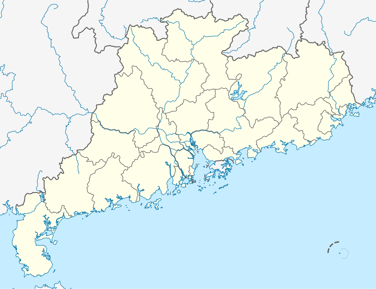 Wangniudun Location in Guangdong | |
| Coordinates: 23°03′16″N 113°39′05″E / 23.05444°N 113.65139°ECoordinates: 23°03′16″N 113°39′05″E / 23.05444°N 113.65139°E | |
| Country | People's Republic of China |
| Province | Guangdong |
| Prefecture-level city | Dongguan |
| Government | |
| • Mayor | Du Weiquan (杜伟权) |
| Area | |
| • Total | 31.57 km2 (12.19 sq mi) |
| Elevation | 6.1 m (20 ft) |
| Population | |
| • Total | 90,800 |
| • Density | 2,900/km2 (7,400/sq mi) |
| Time zone | China Standard (UTC+8) |
| Postal code | 523199 |
| Area code(s) | 0769 |
| Website | http://wnd.dg.gov.cn/ |
Wangniudun (Chinese: 望牛墩; pinyin: Wàngniúdūn; Jyutping: mong6ngau4deon1) is a town under the direct administration of Dongguan City in the Pearl River Delta, Guangdong province, China. Its hukou population is 44,600, but the total population is 90,800, residing in an area of 31.57 km2 (12.19 sq mi).[1] It lies 10 kilometres (6.2 mi) from the urban centre of Dongguan, 40 km (25 mi) south of Guangzhou, and 90 km (56 mi) north of Shenzhen. The G4 Beijing–Hong Kong–Macau Expressway, China National Highway 107, Dongguan Ring Road (东莞市环城路) pass through or near the town.
References
External links
This article is issued from Wikipedia - version of the 2/10/2016. The text is available under the Creative Commons Attribution/Share Alike but additional terms may apply for the media files.