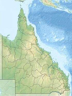
Yangan, Queensland
| Yangan Queensland | |||||||||||||
|---|---|---|---|---|---|---|---|---|---|---|---|---|---|
 Yangan | |||||||||||||
| Coordinates | 28°11′51″S 152°12′29″E / 28.1976°S 152.208°ECoordinates: 28°11′51″S 152°12′29″E / 28.1976°S 152.208°E | ||||||||||||
| Population | 394 (2011 census)[1] | ||||||||||||
| Postcode(s) | 4371 | ||||||||||||
| LGA(s) | Southern Downs Region | ||||||||||||
| Region | Darling Downs | ||||||||||||
| State electorate(s) | Southern Downs | ||||||||||||
| Federal Division(s) | Maranoa | ||||||||||||
| |||||||||||||
Yangan is a small rural town in the Southern Downs Region, Queensland, Australia.[2] At the 2011 Australian Census the town recorded a population of 394.[1] The area is traversed by Swan Creek, a tributary of the Condamine River. Sandstone is extracted from a quarry directly south of the town's centre from a property which fronts Swan Creek.
History
The name Yangan is reported to be an Aboriginal word meaning proceed or go away.[2]
Heritage listings
Yangan has a number of heritage-listed sites, including:
- King Street: Yangan School of Arts[3]
- 36 King Street: Yangan Masonic Hall[4]
References
- 1 2 Australian Bureau of Statistics (31 October 2012). "Yangan (State Suburb)". 2011 Census QuickStats. Retrieved 14 July 2013.
- 1 2 "Yangan (entry 38430)". Queensland Place Names. Queensland Government. Retrieved 13 September 2015.
- ↑ "Yangan School of Arts (entry 600527)". Queensland Heritage Register. Queensland Heritage Council. Retrieved 13 July 2013.
- ↑ "Yangan Masonic Hall (entry 600526)". Queensland Heritage Register. Queensland Heritage Council. Retrieved 13 July 2013.
External links
![]() Media related to Yangan, Queensland at Wikimedia Commons
Media related to Yangan, Queensland at Wikimedia Commons
This article is issued from Wikipedia - version of the 7/19/2016. The text is available under the Creative Commons Attribution/Share Alike but additional terms may apply for the media files.