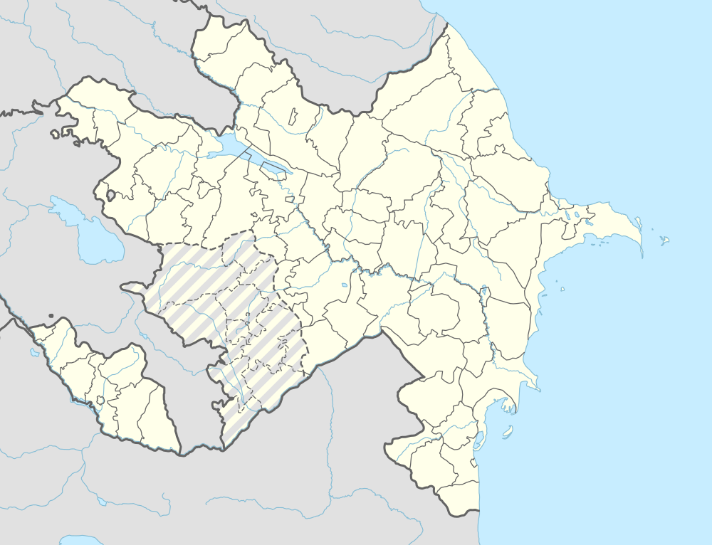
Xələc, Nakhchivan
| Xələc | |
|---|---|
| Municipality | |
 Xələc | |
| Coordinates: 39°31′N 44°57′E / 39.517°N 44.950°ECoordinates: 39°31′N 44°57′E / 39.517°N 44.950°E | |
| Country |
|
| Autonomous republic | Nakhchivan |
| Rayon | Sharur |
| Population (2005) | |
| • Total | 1,268 |
| Time zone | AZT (UTC+4) |
Xələc (also, Khaladzh and Khalaj) is a village and municipality in the Sharur Rayon of Nakhchivan, Azerbaijan. It is located near the Khalaj Mount, 8 km in the north-west from the district center, on the bank of the Araz River. Its population is mainly busy with farming. There are secondary school, kindergarten, library, club and a medical center in the village. It has a population of 1,268.[1]
Etymology
The name of the village is related with xələclər (khalajlar) who were within the tribe union of Seljuq-Oghuz. A part of the xələclər who have participated in conquer of the Middle East (XII-XIII century) now living in Iran and Turkmenistan.[2]
Xələclər (Khalajlar) - is the Turkic tribe that lived on the south bank of the Amu Darya River in the early Middle Ages. They were within of the tribe union of the Seljuq-Oghuz. From written sources, it becomes clear that the Xələclər have served in the armies of the Arab Caliphate. In Seljuq period, some of the them came to Iran, and from there to Azerbaijan. The Xələclər who consist from several tribes and arms (generation) at the end of the 19th century, have lived in the Javad province. Basically, they were engaged in cattle-breeding. The names of the mountain and the village in the Sharur region are related with Xələclər.[1]
Historical and Archaeological monuments
Xələc
Xələc - the settlement of the Eneolith period 200 m in th south from the same named village, on the left bank of the Araz River, on the slope of the same named mountain of the Sharur region. When the local population used the area as a cemetery, many artifacts are scattered around. From here are collected the red clay pottery (jugs and bowl-type containers). Some examples is decorated with the scratching methods. From the settlement were found the grain stones, obsidian and flint panels. It attracts attention that it was painted in the back part of the flint panels with the comb-like instrument. The findings are close to the materials of Ovçular təpəsi (Hunters hill). Painted ceramic samples are the same with ceramics of the Eneolithic monuments in the east of the lake of Urmiya (South Azerbaijan). Along the sides of the irrigation canal which built from slopes of the mountain were found the samples of the ceramic of the first Bronze Age (Kur-Araz culture). A bit away from the settlement were found samples of whole colored plates of the middle Bronze Age. Those plates, for ornaments and forms are the same of Kultepe I. Entirely, the settlement of Xələc belongs to the 4-3 millennium of BC.[1]
.svg.png)