Whitewater, Montana
| Whitewater, Montana | |
|---|---|
| Census-designated place | |
 Whitewater, Montana | |
| Coordinates: 48°45′34″N 107°37′39″W / 48.75944°N 107.62750°WCoordinates: 48°45′34″N 107°37′39″W / 48.75944°N 107.62750°W | |
| Country | United States |
| State | Montana |
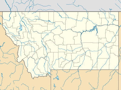
| County | Phillips |
| Area[1] | |
| • Total | 1.057 sq mi (2.74 km2) |
| • Land | 1.057 sq mi (2.74 km2) |
| • Water | 0 sq mi (0 km2) |
| Elevation | 2,323 ft (708 m) |
| Population (2010)[2] | |
| • Total | 64 |
| • Density | 61/sq mi (23/km2) |
| Time zone | Mountain (MST) (UTC-7) |
| • Summer (DST) | MDT (UTC-6) |
| ZIP code | 59544 |
| Area code(s) | 406 |
| GNIS feature ID | 778429[3] |
Whitewater is a census-designated place and unincorporated community in Phillips County, Montana, United States. Its population was 64 as of the 2010 census.[2] Whitewater has a post office with ZIP code 59544.[4][5]
Climate
According to the Köppen Climate Classification system, Whitewater has a semi-arid climate, abbreviated "BSk" on climate maps.[6]
References
- ↑ "US Gazetteer files: 2010, 2000, and 1990". United States Census Bureau. 2011-02-12. Retrieved 2011-04-23.
- 1 2 "American FactFinder". United States Census Bureau. Retrieved 2011-05-14.
- ↑ "Whitewater". Geographic Names Information System. United States Geological Survey.
- ↑ United States Postal Service (2012). "USPS - Look Up a ZIP Code". Retrieved 2012-02-15.
- ↑ "Postmaster Finder - Post Offices by ZIP Code". United States Postal Service. Retrieved August 1, 2013.
- ↑ Climate Summary for Whitewater, Montana
Municipalities and communities of Phillips County, Montana, United States | ||
|---|---|---|
| City | 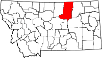 | |
| Towns | ||
| CDPs | ||
| Other unincorporated communities | ||
| Indian reservations | ||
| Footnotes | ‡This populated place also has portions in an adjacent county or counties | |
This article is issued from Wikipedia - version of the 8/15/2014. The text is available under the Creative Commons Attribution/Share Alike but additional terms may apply for the media files.